


Hello skiers and snowboarders, Short term A mixed bag of weather is expected this week! We certainly have had our share of rain this weekend. On Monday the Cascades will get a brief drying trend with mild conditions and some sun breaks in the West Cascades. However, Mt Baker will get rain on Monday. Monday morning temperatures should remain above freezing. The map below shows condit....
Read More
Hello skiers and snowboarders, SHORT TERM: For those that can sneak away to ski this Thursday, you can expect up to 6 inches of new snowfall by Thursday morning. The map below shows snowfall for the 24 hours ending Thursday morning. Many of the popular resorts in the West Cascades will get from 4 to 6 inches of snow (purple colors). White Pass should also get 4 to 6 inches. These snow to....
Read More
Hello skiers and snowboarders, For much of the upcoming week, we can expect weather systems to move in from the west to bring periods of snow on and off through Thursday. The snow levels will tend to bounce around from 3500 to 4500 feet; although lower at times for Snoqualmie and Stevens Passes. The lower slopes will be getting a wintry mix of snow mixed with rain at times. There will b....
Read More
Hello skiers and snowboarders, The good news.... Thursday's snowfall will continue to add to our snowpack which is 80% of the average for many locations. In the photo above our friend Randy Oakley enjoyed some runs at Alpental this past Tuesday. Friday The bad news is that starting Thursday night and into Friday, snow levels are slowly increasing. With warm air aloft and cold ai....
Read More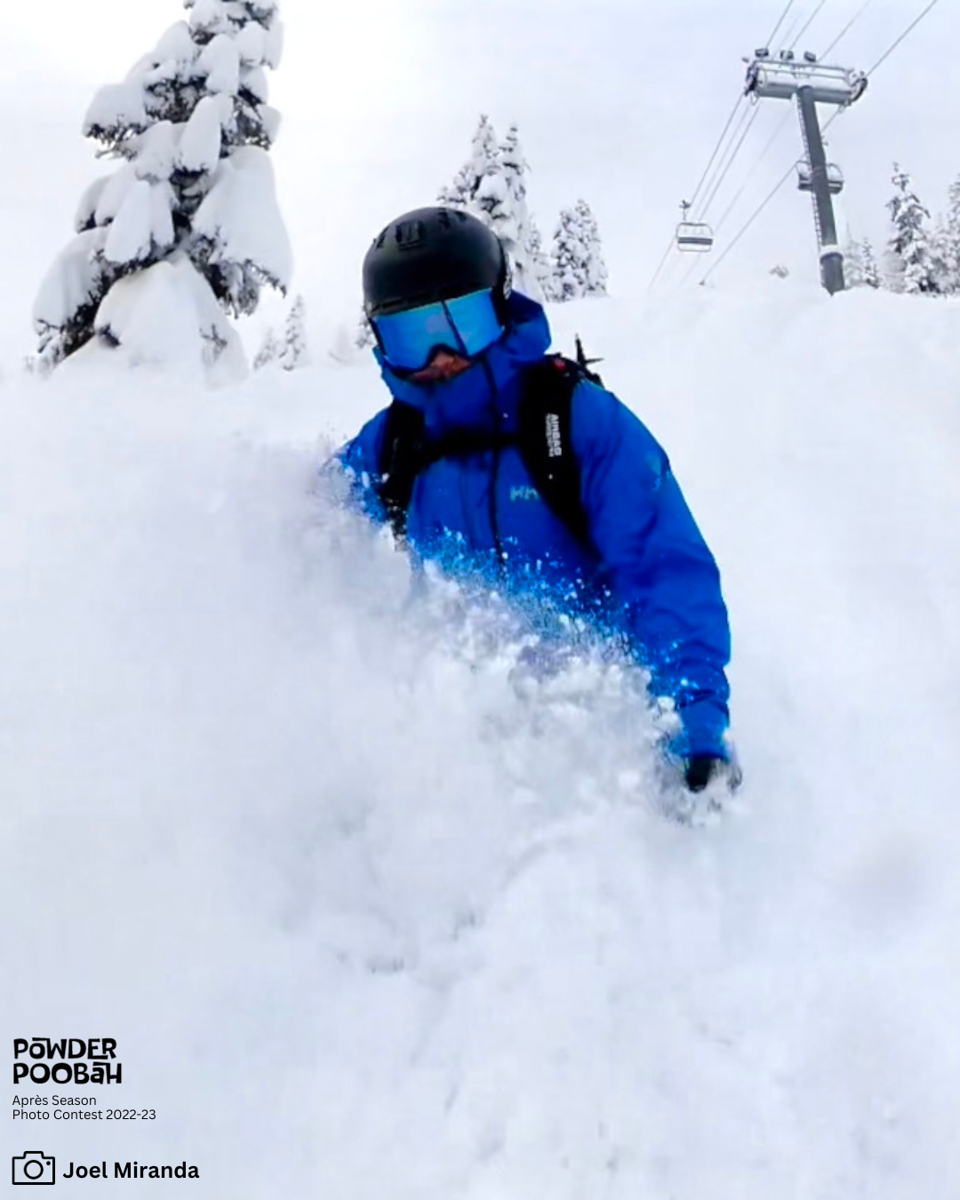
Hello skiers and snowboarders, Temperatures: The map below reflects the current temperatures at 5 am Sunday, Jan 14, which factors in the wind, so we have the current windchill temperatures. The circled area is at Snoqualmie Pass. The air temperatures (not factoring in the wind) are: Mt Baker 18 Blewett Pass -12 Stevens Pass -8 Snoqualmie Pass -5 Crystal Mountain (base) 15 This....
Read More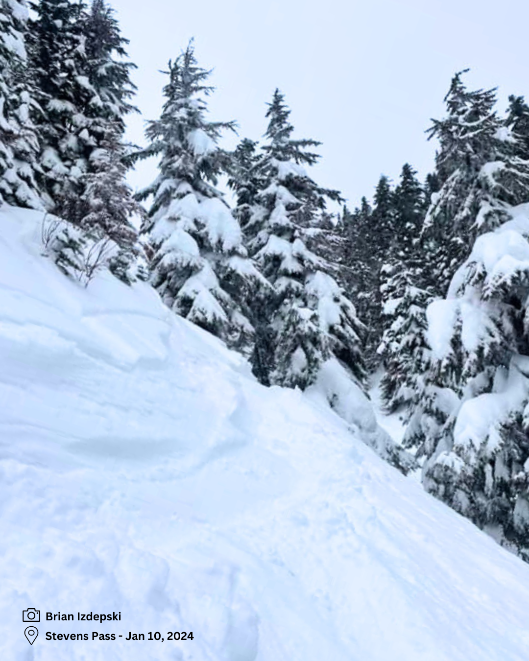
Featured photo. Powder runs from Brian Izdepski: Stevens Pass pic from Jan 10, 2024. "Big Fat Southern Cross kinda day. Not the lightest snow, but it was deep, and room for new tracks. A couple of top ten all time powder runs. Pegasus hadn’t been skied all year, so it was backcountry special…So smooth!" Hello skiers and snowboarders, This past Monday and Tuesday, many ski areas in t....
Read More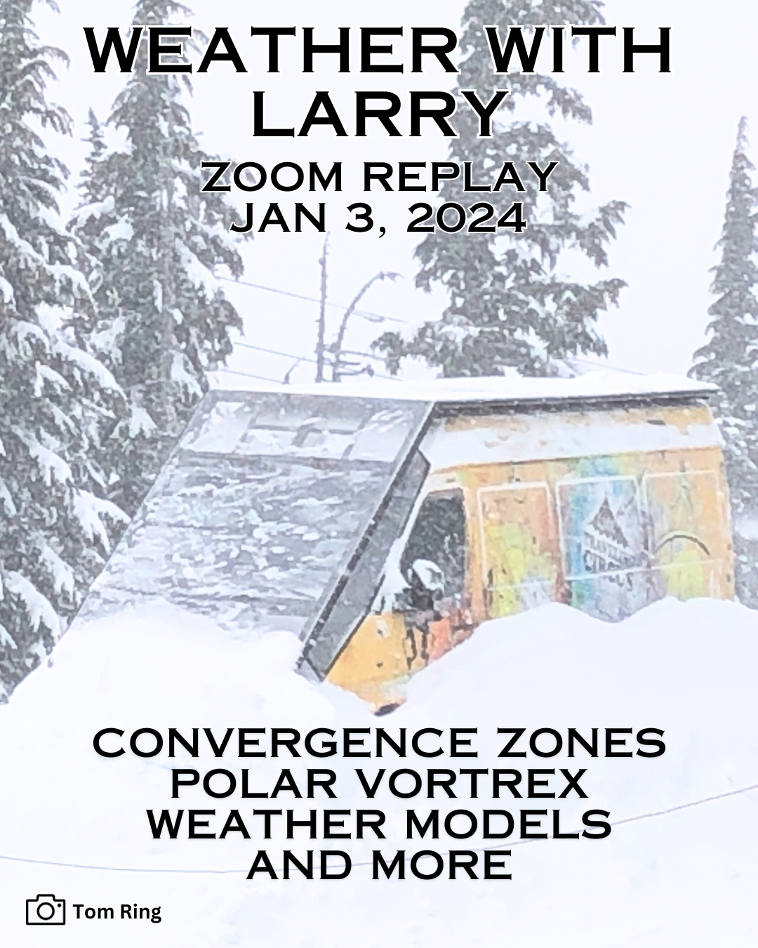
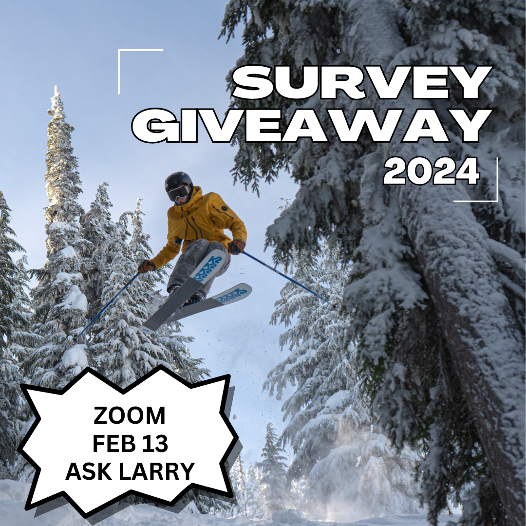
Recording from Jan 3, 2024. Zoom with Larry. Skiers and snowboarders in the Northwest are stoked for some snow...finally! Listen to Larry for info on weather in the Cascades and what to expect now that we have new storm cycles. Can we recover the snowpack? What's a Polar Vortex? How does the Convergence Zone in Everett make a difference for Mount Baker? And more... TRANSCRIPT AND SLIDES All ....
Read More
Hello skiers and snowboarders, The New Year is bringing a bounty of new snowfall. This Monday we are expecting light snowfall however snow levels briefly go up in the afternoon to 4000 to 6000' but lower in the evening. Then Tuesday low snow levels and new snow of 20 inches during the day. However, it will be windy at the ridgetops with wind gusts of 40 to 50 mph. Also, the air mass is unstable ....
Read More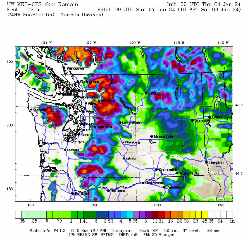
Hello skiers and snowboarders, This is Meteorologist Michael Fagin, I will be handling much of the forecasting to enable the Grand Poobah of Powder to enjoy the snow that is on the way. Yes, the Grand Poobah will chime in with updates. We will welcome the major weather pattern changes as we say goodbye to the warm conditions that we saw in December. Starting today and continuing thr....
Read More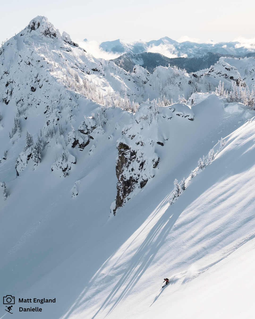
Hello skiers and snowboarders, Happy New Year’s Eve! The New Year will start off without much change in the short-range forecast. Weather fronts continue to split apart and weaken as they try and deliver more snowfall to the Northwest. This current weather pattern results in little or no new snow for the Cascades and Inland Northwest. There are hints of changes ahead. I have growing co....
Read More


