Hello Skiers,
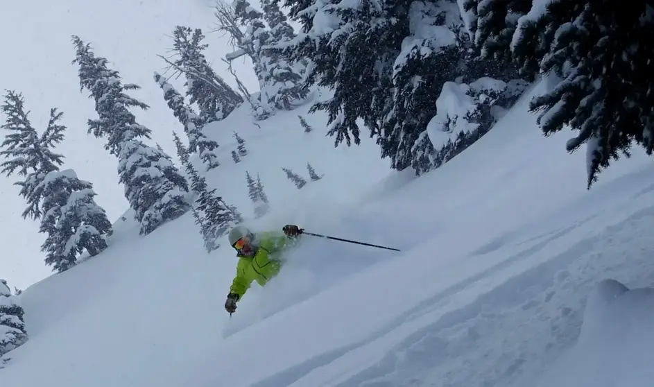
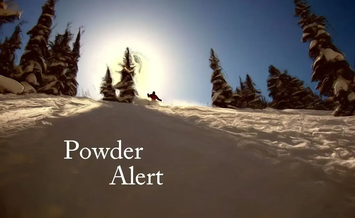
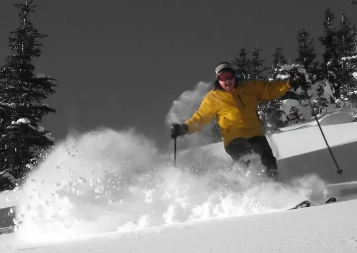
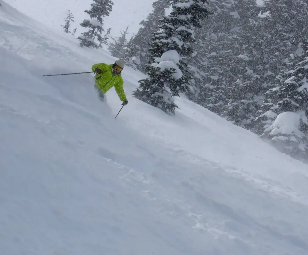
An unsettled weather pattern will produce April snowfall in the Cascades and the potential for new snow and powder skiing.
Winter weather is returning to the Cascades, Friday and into the weekend. A series of storms will move through the Pacific Northwest with rain in the lowlands and snow in the Cascades. Besides the typical low visibility and gusty winds the main issue will be the roller coaster snow levels from 5,000 ft on Friday, then down to 3,500 ft by Saturday morning, with 4-7 of new snow. There will be some partial clearing on Saturday during the day.
A new, even more vigorous system will move through later Saturday night into early Sunday. The snow level will rise to 4,500 ft, then lower on Sunday to 4,000 ft. New snow on Sunday morning will range from 4 9.
The storminess will be almost continuous and it is difficult to time the breaks.
Clearly, there will be a rain-snow mix on some of the lower slopes, but mostly snow will be seen on the mid and upper slopes. Right now the timing of the lowest snow levels and best quality snow will be Saturday and Sunday morning.
Next week will see cool weather with snow tapering off.
Your Grand Poobah of Powder
