


Hello Powder Alert Fans, This will wrap it up for the Powder Alert snow forecasts for this 2023-24 season. But the season has not ended. There remains skiing at Crystal, Whistler, Mt Hood Meadows and Bachelor. Check websites for details re operations and closing dates. This weekend will see new snow on the upper slopes, but lower slopes will be sticky In the Cascades and Whistler. Snow levels....
Read More
Hello Powder Alert Fans, Monday: Sunny Tuesday: Mostly sunny early with increasing clouds later Wednesday: 2 to 4" mid to upper slopes Thursday: 2 to 4" mid to upper slopes Short Term Discussion A weak ridge of high pressure (the arrow on the map below) will be in place Monday and most of Tuesday. Thus, we can expect mostly sunny conditions, especially on Monday, then some ....
Read More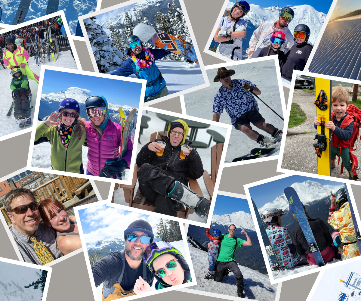
Hello Powder Alert Fans, Friday: Sunny and mild, breezy winds from the east Saturday: Sunny early with increasing clouds later; rain late in the day Sunday: Cloudy with snow for mid to upper slopes Monday: Cloudy early some light snow then sun breaks for the afternoon Short Term Discussion Hello skiers and snowboarders, A strong upper level ridge of high pressure will b....
Read More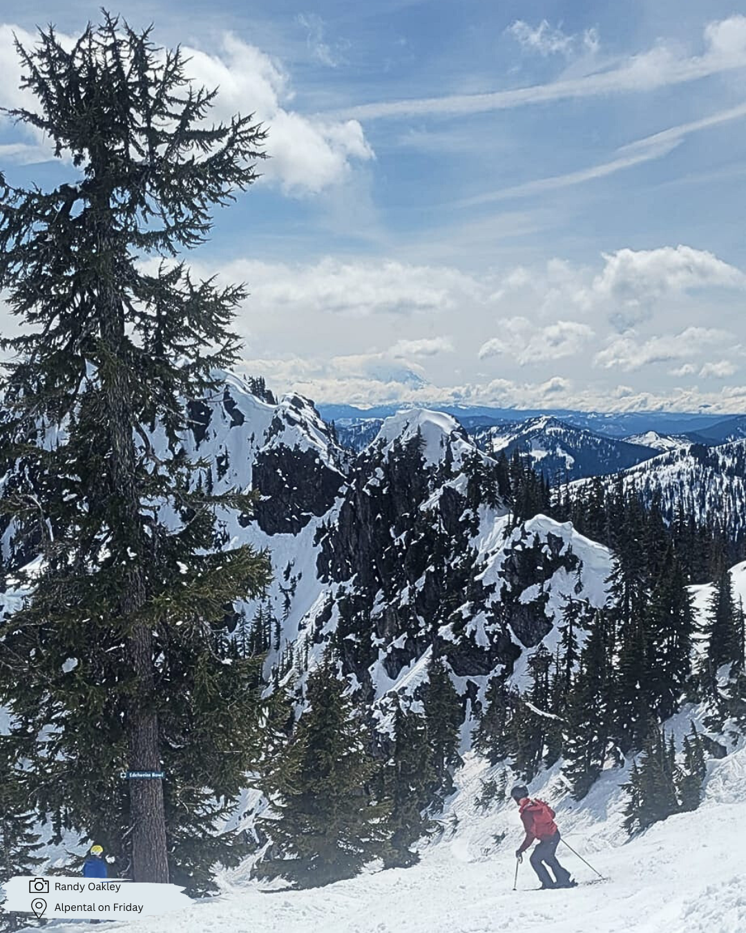
Hello Powder Alert Fans, Monday: Light snow mainly for late in the day/evening Tuesday: Light snow at 3000 to 4000' Wednesday: Mostly sunny for the afternoon Thursday: Continued mostly sunny Short Term Discussion Hello skiers and snowboarders, Monday, an area of low pressure and associated cold front will move into the Cascades. The best chance of snow will be for lat....
Read More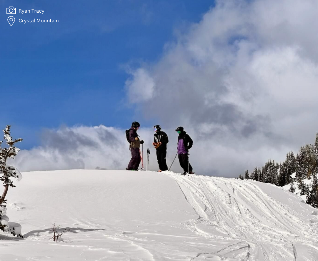
Hello Powder Alert Fans, Friday: Dusting of snow early; sun breaks in the afternoon Saturday: Mostly sunny and mild Sunday: Partly cloudy; perhaps a brief shower but not likely Monday: Snow likely mid slopes 2 to 4" Short Term Discussion After some brief light showers early Friday, we are expecting dry and warming conditions for later Friday and into Saturday. During this....
Read More


