


Hello Powder Alert Fans, Friday: Cloudy with light snow for mid slopes Saturday: Sunny and warmer Sunday: Continued sunny Monday: Mostly sunny spring skiing continues Short Term Discussion Most ski areas reported 4 to 6" of new snow during on Wednesday. This includes areas in the west like Stevens Pass and Crystal Mountain and includes our friends in the Inland areas, 49 ....
Read More
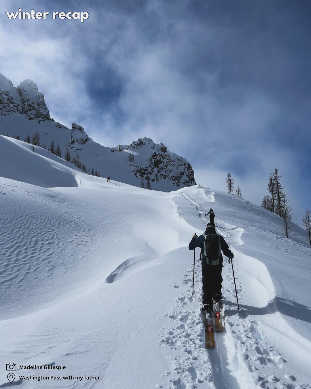
Winter Recap "Great late start, crappy middle, banger finish" Jeff Newman "My 3 year old is building confidence and always yelling “faster, faster” … but hoping she learns to turn before going any faster!" Ryan Thompson "My Grandson had his last ski race then the cheering section got together for a run. Here we are together at the botto....
Read More
Winter Recap Contest! "It was an odd year but had moments of greatness." Kirsten Conner Thank you to our sponsors for making these giveaways happen. We added a couple extra prizes today, but the season's not done yet. Click here for a few more pics and stories. Hello Powder Alert Fans, Thursday: 2 to ....
Read MoreHello Powder Alert Fans, Monday: Mostly sunny ☼ Tuesday: Mostly sunny ☼ clouds later Wednesday: Increase in clouds and trace, if any, snow Thursday: Mostly cloudy and trace, if any, snow Hello skiers and snowboarders, The weather theme in the short term will continue the pattern of a strong upper-level ridge of high pressure (red on the map) anchored over the West Coast. ....
Read Moretext goes here LINK to the form....
Read More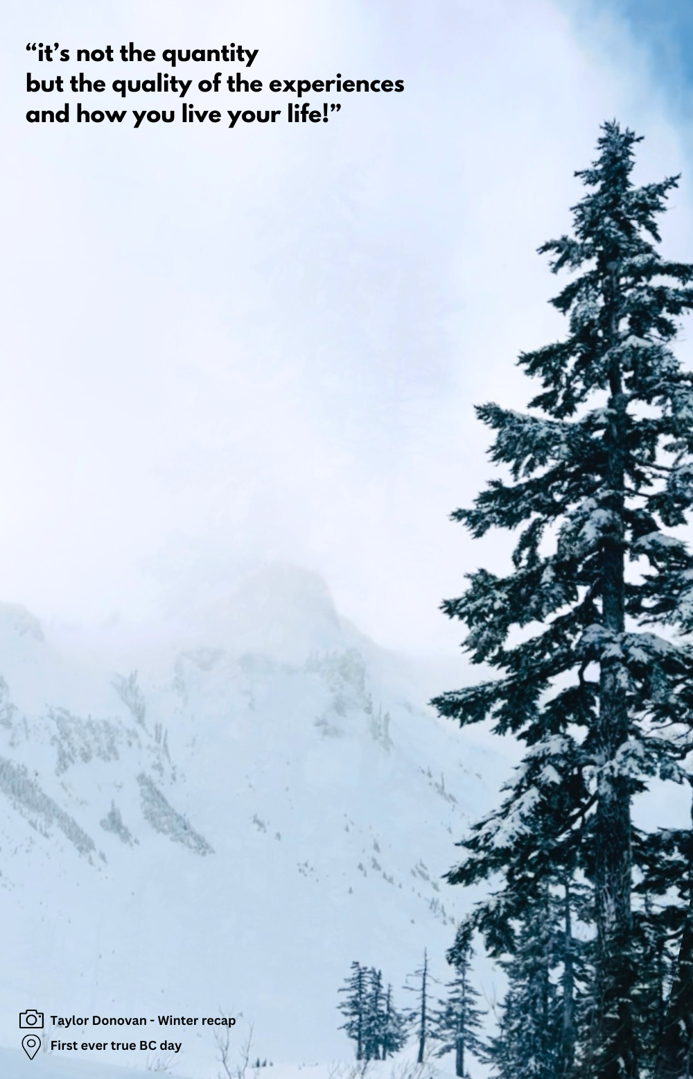
Hello Powder Alert Fans, Friday: Mostly sunny ☼ Saturday: Mostly sunny ☼ Sunday: Still mostly sunny ☼ Monday: Mostly sunny refills ☼ Short Term Discussion Hello skiers and snowboarders, For today through at least Monday, we expect perfect spring skiing conditions. Cool in the morning, then sunny and mild for the afternoon. A strong ridge of high pressure will be in plac....
Read More
We're giving away $1,000 in sponsor prizes. The Winter Recap Contest starts today. Share your Winter glory. We're giving away $1,000 in prizes from Rack N Road, Outdoor Research and Aslan Brewing Co. Enter by March 19th when the Spring Equinox kicks in. Photos, video, stories. CLICK HERE FOR DETAILS Quick Glance: Monday: 2 to 4" with snow ....
Read More
Hello Powder Alert Fans, Friday: Dry with some early sun breaks Saturday: 2 to 4 inches with snow levels at 3000 to 4000' Sunday: 2 to 4 inches with snow levels at 3000 to 4000' Monday: Up 6 to inches with snow levels at 3000' Short Term Discussion Hello skiers and snowboarders, Friday we are expecting a weak ridge of high pressure and can expect dry conditions and some....
Read More
Hello Powder Alert Fans, Monday: Up to 4 inches with snow levels at 500 to 1000' Tuesday: Trace if any with snow levels at 500' Wednesday: Trace if any with snow levels at 500' Thursday: Up to 5 inches with snow levels at 2000/3000' Short Term Discussion Hello skiers and snowboarders, Between today and mid-morning on Monday (see first map), we are expecting 4 ....
Read More
Hello skiers and snowboarders, Short Term Outlook: Late winter snowfall continues to grace us with its presence. Over the next few days, here's what you can expect: Thursday: Anticipate 6 to 8 inches of snowfall, with additional accumulation mainly on Friday morning. Friday afternoon might even offer a few welcomed sun breaks, making it an ideal day to hit the slopes. Saturday:....
Read More


