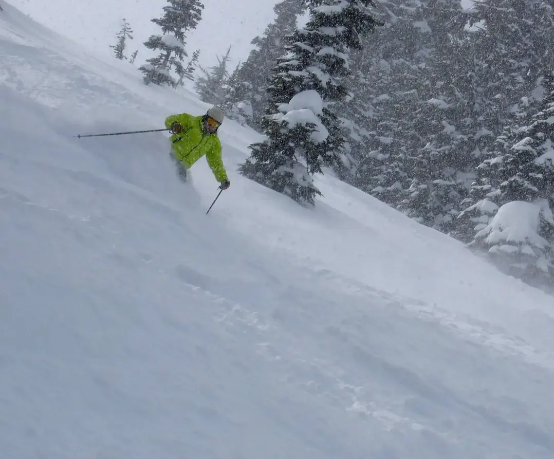
POWDER ALERT
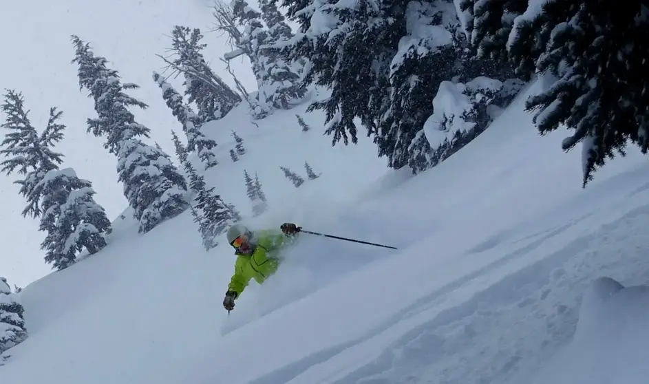
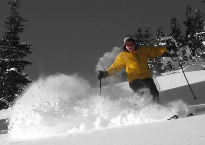
Here comes lots of new snow. Somebody must ski it, why not you?
But be prepared. This is it. Stay safe. Stay inbounds, do not cut ropes. The Poobah sez: Obey ski patrol signage and ropes!
More snow is on the way for the Cascades for later Friday and Saturday. Saturday is your powder day with snow falling through much of the day. The storm track will favor the southern Cascades with Crystal and White Pass getting the bulk of the new snowfall. The Summit will do well, while Stevens and Baker receive less new snowfall. BTW: The Oregon Cascades will get a ton of light snow.
Friday will see 2-5, mainly Crystal and White.
By Saturday expect 6-12 when you arrive. Deepest new snow will favor The Summit, Crystal and White. Expect to ski in snow all day with an additional 4-7. Snowing all day, free refills. Your tracks will fill in.
The good news is the snow level will stay low creating excellent quality snowfall. The bad news is getting to the slopes may be very difficult with the snow levels near sea level and 5-10 of snow on most of the low elevation roads (Seattle). Be careful driving up and back on Saturday. It will take a long time to drive up. Also, when skiing, ski with a partner, for safety.
Sunday will see partial clearing with fantastic conditions, considering the new snowfall. Groomers and off-piste will be wonderful, truly epic. And guess what? A new storm hits for Monday.
Later Sunday and Monday a new storm moves in with snow all day long. A total mega refresh: 6-12. It will be another big powder day, with low snow levels (500 ft). And the Cascades snow party is not over with a new storm later in the week.
There it is - ski it!
Your Grand Poobah of Powder
Larry Schick meteorologist
