Hello, Powder Alert fans,
- THURSDAY: Some strong winds this morning and early afternoon. 2 to 4 inches of snow at 4000 feet.
- FRIDAY: New snowfall of 4 to 6 inches with varied snow levels of 3000 to 4000 feet for the west, lower levels, and lower snow totals for the east parts.
- SATURDAY: New snowfall of 3 to 4 inches with snow levels close to 3000 feet.
- SUNDAY: Continue with snowfall in the 2 to 4 inches with snow levels close to 3000 feet.
MORE DETAILS
A strong area of low pressure is off the West Coast today and we can expect strong wind gusts for the mid to upper slopes through early this afternoon. We get new snowfall today of 2 to 4 inches with snow levels varying from 3000 to 4000 for the day.
The good news for Friday is lighter winds with snow levels at 3000 to 3500 feet with new snowfall for the day up to 4 inches with higher totals possible near Mt. Baker.
We will continue with an active weather pattern for Saturday through Monday. Weather systems will move in from the southwest, so snow is forecast for each day. Daily totals of 2 to 4 inches for Saturday and Sunday is a good forecast. Snow levels do vary from the 3000 to 4000 foot range since we have a southerly wind at times.
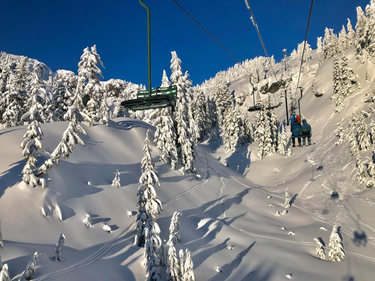
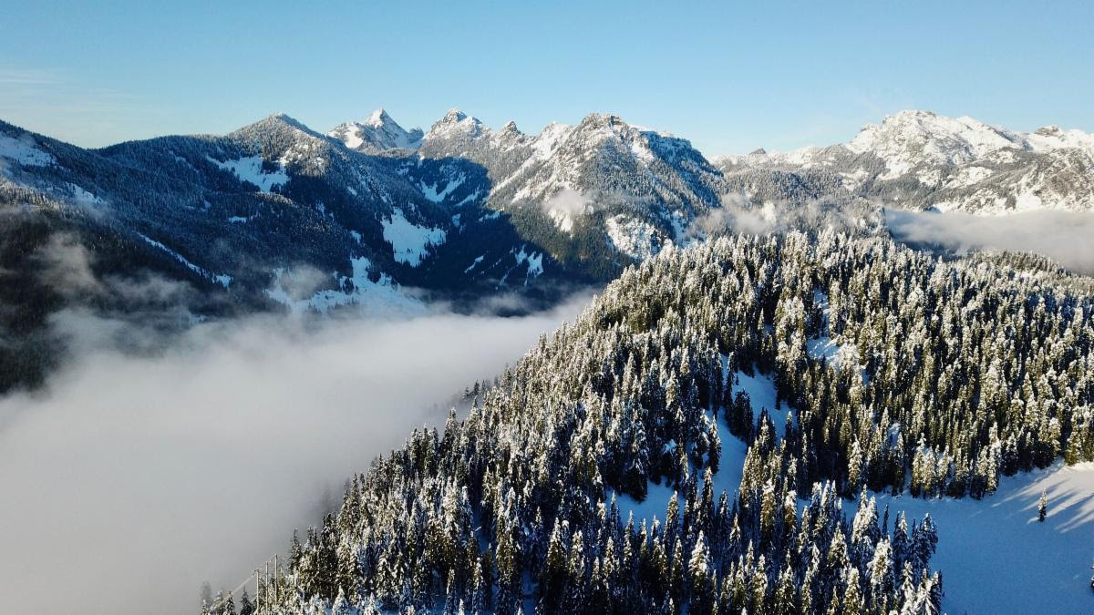
Scott Harder @scottsendsharder took the photos at Alpental and near the Summit Central area of The Summit at Snoqualmie this past New Year's Day. Looks like he caught a powder day and a bluebird day.