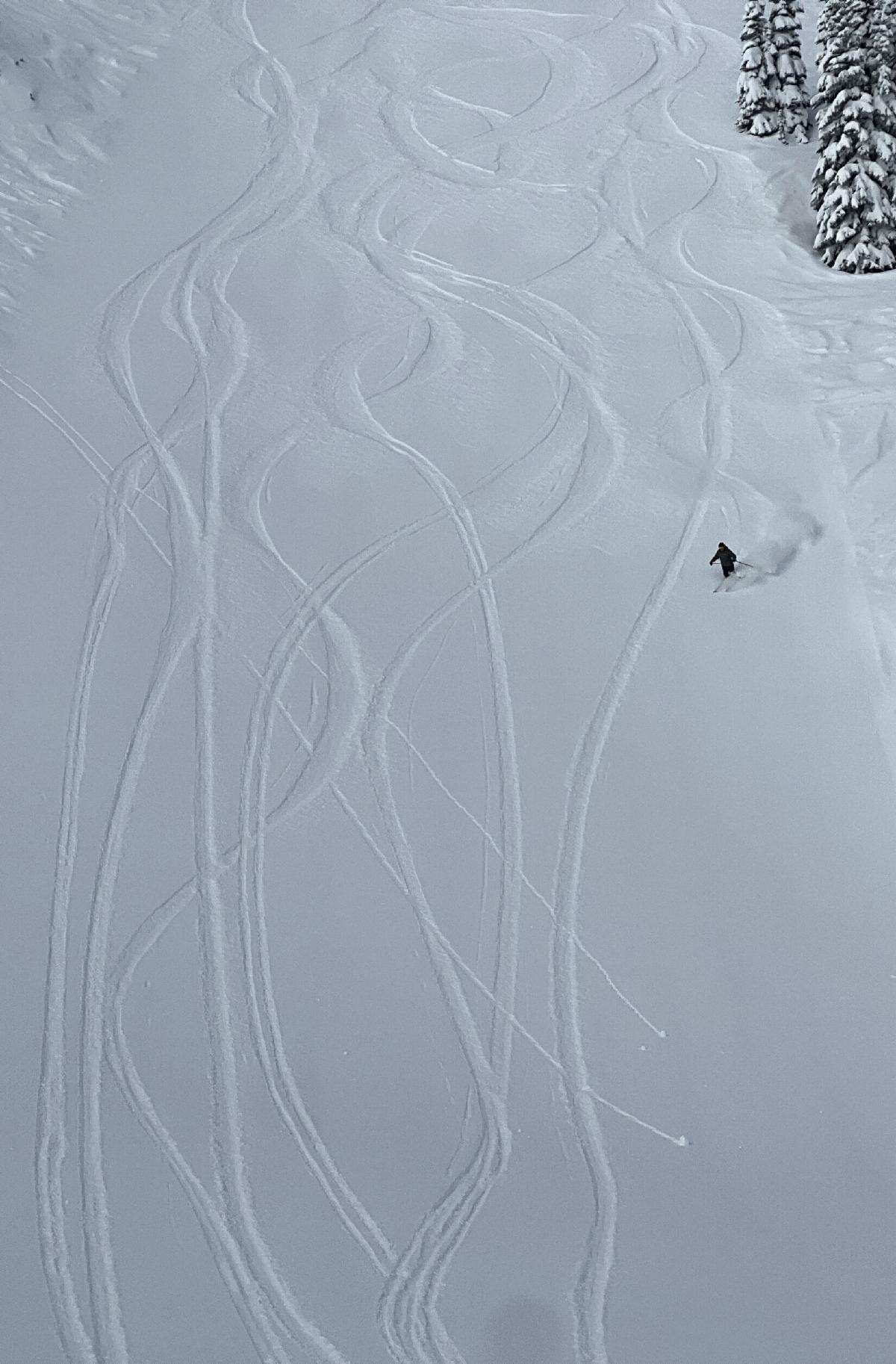
Powder Poobah looks for and finds fresh snow Wednesday, March 15, at Crystal Mountain.
Most Washington ski areas' snowpacks are at or above normal - just as promised by La Nina. Crystal is 119% of normal, Stevens 92% of normal, Snoqualmie 98% of normal, Mt Baker 104%, White Pass 121%, and Mission 121%. (info courtesy NWAC).
This snowpack report is provided by The Grand Poobah of Powder, Meteorologist Larry Schick.
Powder Alert 3-16
- FRIDAY: Mostly sunny
- SATURDAY Sunny conditions continue
- SUNDAY: Light snow for mid to upper slopes late in the day
- MONDAY: Light snow for mid slopes early in the day, then snow for all slopes later
Updated March 16, 2023, at 6 am:
I-90 remains closed eastbound at Cabin Creek (MP 63), 10 miles east of the summit due to a serious collision. No estimated reopening time. Check the DOT website below for an update, which will be posted at 11 a.m.
Make sure you always check for road conditions:
Hello Skiers & Boarders,
Spring skiing anyone? While we have a chilly start to the day we slowly begin to get a feel for spring with gradually rising freezing levels starting today and continuing into Friday and Saturday. Not exactly balmy conditions. However, we should be in the low 40s for Friday and Saturday and should find some corn snow during the day.
During the day on Sunday, a weak area of low pressure will move in to bring chances of snow for the mid slopes later on Sunday. Monday snow levels drop to 2000 feet to bring snow late Monday and into Tuesday. We will update you on Sunday to make sure you can catch the powder day (or days) that we might be getting early next week.
The photo below is The Grand Poobah of Powder at Crystal Mountain yesterday.