Its hard to imagine looking outside right with the clear, sunny weather a big snowstorm is quietly developing and headed our way. A step outside will prove we still have a chill in the air and that will set the stage for more snow to come in the lowlands and the mountains.
This is potentially a bigger snowstorm than earlier this week. Also, like the storm on Monday, there will be wind with the cold, especially north. There will be more snow than Monday, and like Monday the snowfall totals will be similar in the lowlands (your back yard) as the mountains. This is due to the low-level moisture and storm orientation not necessarily favoring the mountains like we normally see. Snowfall totals early Friday to midday on Saturday will be 4 -10 for both the mountains and the lowlands. The snow level will be sea level, so everybody will get snow. Scout out a local hill to skimake a powder turn at a nearby park.
With the low snow levels, quality and quantity of snowfall will be great in the mountains and the lowlands. Be extra careful driving up on Friday and Saturday. The lowland roads may be pretty bad in places with ice/snow and other hazards. Once you get to the mountain roads, it may get better as they deal with snow on the roads all winter long.
These lowland snowstorms are tricky, but this one look textbook and a classic for Seattle. The cold air is in place, with a low developing offshore of the Columbia River mouth. That location and configuration will pull more cold air down to keep it cold enough for all snow. Also, that is a good position for the low to feed moisture in from the west-southwest to supply the moisture source for the snow. Its a delicate balance if the position is too far from ideal, it may cut off moisture or allow mild air to move in.
However, the computer models have been fairly consistent in showing this setup so confidence is modest to high. Still, there is often a nagging anxiety with a complicated snow forecast for the lowlands in Puget Sound. Mother Nature always has the last card. I think the uncertainty is really about possible heavier snowfall bands, really letting loose in the lowlands or foothills. I really cant see a bust and getting no snow, so let's go for it! Yowza here comes the snow!
Here is how it will go down for the mountains.
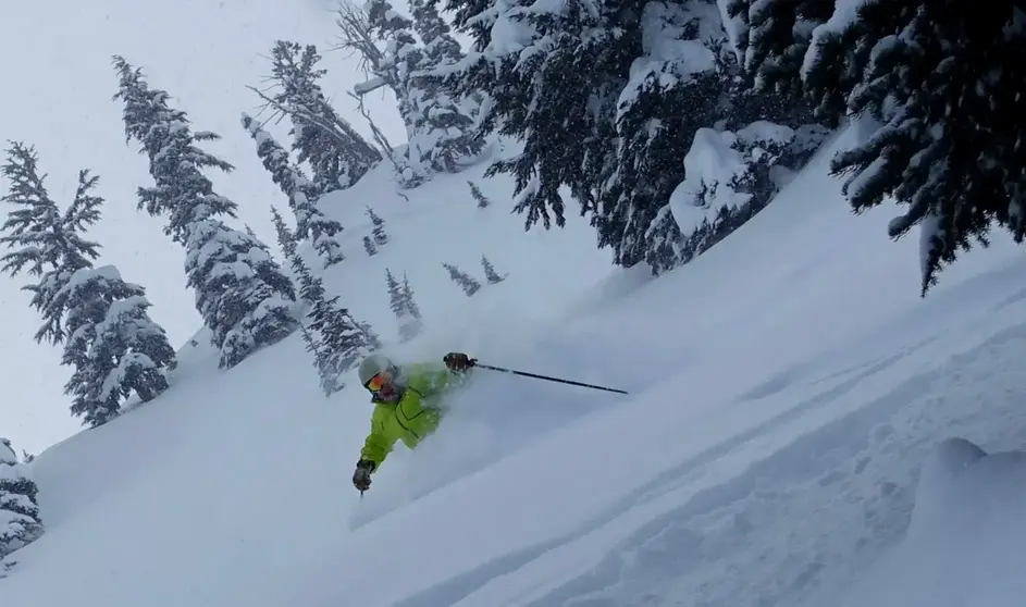
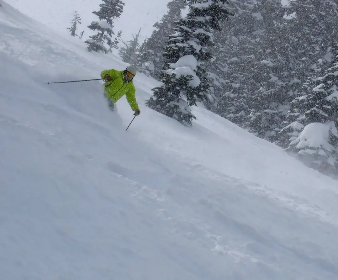
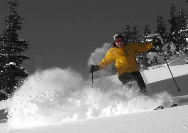
Expect to ski in increasing snow in the Cascades by Friday, but little or no new when you arrive. The snowfall will really pick up in the afternoon and all night. Expect decreasing snow by early Saturday afternoon. There will be 1-3 during the day on Friday, keeping it fresh. New Cascade (24hr) snowfall will be 4-10 by Saturday with excellent high-quality blower powder. Off-piste, should be much improved, but you may feel some firmness underfoot in places. Groomers will be really fine. Sunday will be cold but with partial clearing, a great ski day with quality leftovers and fabulous groomers. Local lowland roads will still be snowy and icy.
This snow pattern favors Stevens (3-7) to The Summit (3-8) and especially Crystal (4-9) and White (4-10). Also, there is an easterly flow component, which could produce snow of great depth and exceptional quality at Mission (7-14 plus). Even heavier snow will fall in Oregon, Bachelor and Hood 12 plus and super light. This pattern does not favor Baker (1-3) and Whistler (1).
There is more lowland and mountain snow possible Monday and Tuesday, but there is lots of uncertainty at this time. Ill have an update on Sunday.
Your Grand Poobah of Powder
Larry Schick meteorologist
