Hello skiers and snowboarders,
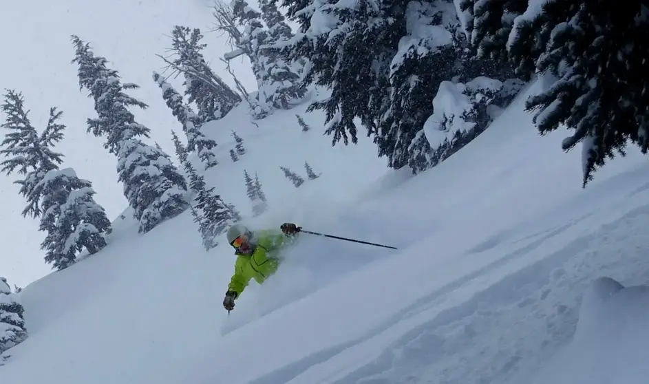
This is one of the best snowfall starts in years for some ski areas, and best start in decades for others like Mt Bachelor (best in 26 years). And the snowfall party continues.
This week looks promising. Often, in late November, the Northwest can see some of their most extreme storms with floods, high winds and occasionally deep mountain snowfall. Right now, the weather looks active for the next two weeks, with moderate to heavy mountain snowfall, but snow level may bounce around a bit toward the end of the week or weekend.
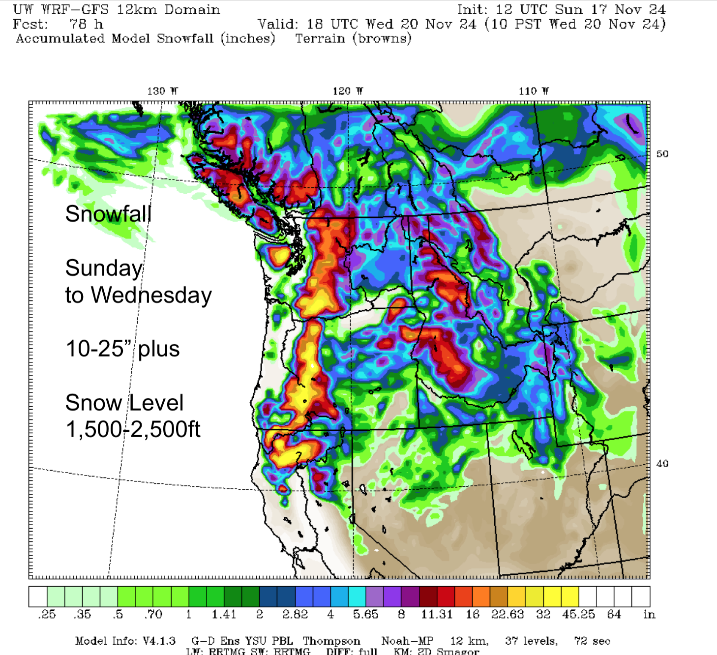
The next few days the snow level is 1,500 to 2,500 ft – ideal for additional snowfall coverage on all slopes.
Right now, we have roughly 1-4 ft or more of snow on the mid and to upper slopes. The lower slopes have a few inches to a foot or more. This is enough snow to at least partially open for most areas, given some fill-in with snowmaking. There are several ski areas already partially open in the NW or just about to open. Check websites for your favorites, because each day, each area reviews their snow situation and operations to decide on if and what’s open. Expect early season conditions, with hazards like brush sticking out and thin covered snowpack in some areas. And don’t expect the entire mountain to be open. I do expect, given the additional new snow this week, most areas (not all) will be open to some extent next weekend and certainly by Thanksgiving weekend.
I’ll be watching for the dreaded warm/wet Pineapple Express, atmospheric river (AR) to dampen the fun. I do expect a threat of an AR, mainly south of us by next weekend. It is uncertain the magnitude or incoming location - probably toward Oregon and California. Even worst case, if we get an AR, it wouldn’t totally wipe out our new, because the snow is moderately deep in the mid and higher elevations. Again, there is no AR threatening us at this point.
There is good reason to be optimistic. It really isn’t even La Niña yet, so this early start is excellent. We are still in the neutral phase but slowly marching toward a weak La Niña in December. The best is yet to come.
Get ready, get set. Scroll down for a glimpse at the snow map for today.
Faithfully yours,
Self-appointed, The Grand Poobah of Powder
Larry Schick, meteorologist
SUPPORT OUR SPONSORS! This week make sure to book your Holiday or mid-week stays with Crystal Hotels. Your overnight stay includes parking!
Package for 1 guest:
- Discounted Overnight Lodging
- $30 Alpine Inn Dinner Voucher
- $17 Alpine Inn Breakfast Voucher
Package for 2 guests:
- Discounted Overnight Lodging
- $60 Alpine Inn Dinner voucher
- $34 Alpine Inn Breakfast Voucher
Family Package:
- Discounted Overnight Lodging
- $100 Alpine Inn Dinner Voucher
- $68 Alpine Inn Breakfast Voucher
Click here to Reserve Now.
Dinner reservations are available, call us at (360) 663-2262 with any questions or for more details.
Congratulations to Mary Hollen, winner of the IGNIK FireCan Firepit. She was on the Zoom with Larry and Tony last week.
|
|
|
Subscribe to our social media! |
|
|
|
