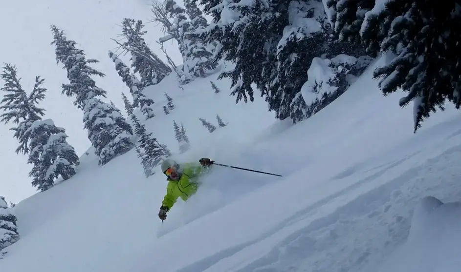
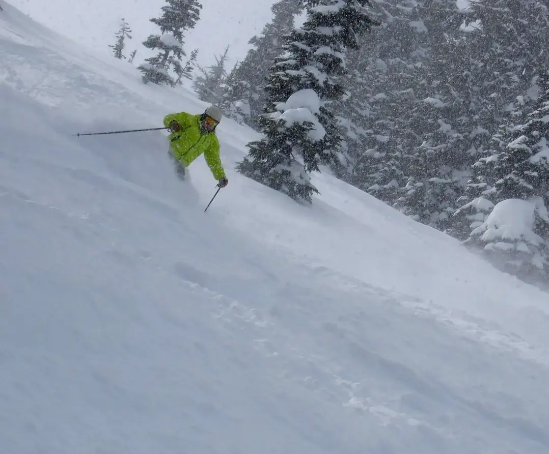
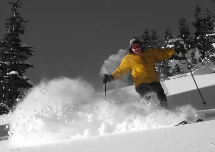
Looks like powder Tuesday. Expect 5-10 of snow by Tuesday morning, with another 2-5 during the day as the snow level (SL) drops to 3,000-3,500 ft.
and the hits just keep comin!
Wednesday will see more snow with a quick-moving storm, which delivers the goods with a respectable 4-9 as the SL edges up to 3,500 to maybe 4,000. Expect snowfall much of the day.
There might be a brief break in the action early Thursday, then increasing snow by later morning, with the SL 4,000 ft
Friday and through the weekend will see more weather breaks, but with continued snowfall in places mainly Baker and Whistler but those areas will have high snow levels.
This is a rapidly changing forecast with multiple storms. Ill have an update by late Thursday or early Friday.
larry
