Hello skiers and snowboarders,
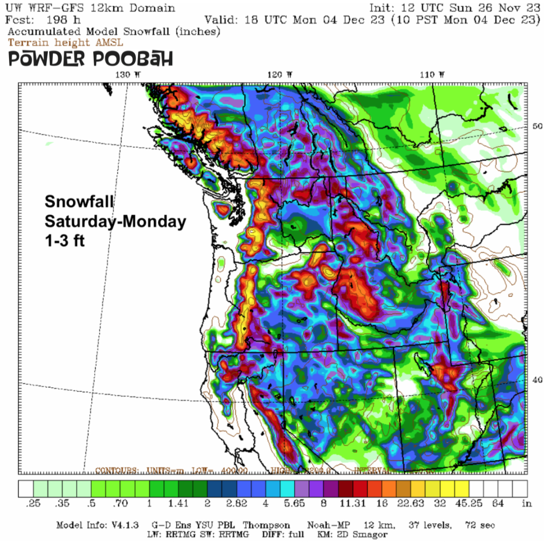
Significant snowfall is on the way but will not arrive until next weekend. The fun will begin, as snow will finally start to pile up and get the season rolling. The storm gates will open with several storms lined up and headed our way from Saturday, December 2, and beyond. Snow levels will be low at 2,000 to 3,000 ft, so all ski areas will get snow on all slope elevations - YEAH!
In the meantime, high pressure will cause a continuation of a dry and chilly pattern in the mountains of the Northwest for the next five days.
Whistler is the only ski area open in the Northwest. The slopes at Whistler have natural snow and snow making. There are thin spots around the edges and of course off-piste is not happening. A report from Kary of Kirkland says Whistler is cold, but the chill is keeping the snow in good shape. None of the alpine is open yet, but some mid slope runs at Whistler and Blackcomb are open. Downloading is mandatory. Expect sunshine most of the week, with new snow by next weekend.
I am highly confident of the dry pattern this week. My confidence is moderate to high for a change to a snowy pattern for next weekend, as high pressure fades and the storm track aims in our direction. Exactly how the upcoming snow pattern evolves, is not clear yet - but it will happen. The uncertainty is how much snow? The potential is good for high end snowfall greater than a foot or two. There may be enough snow in this upcoming pattern to see many more ski areas opening. However, snow accumulations will take a few days to deepen sufficiently.
A strong El Niño remains but usually doesn't influence the weather until late December. For the Pacific NW, it may mean fewer storms and possibly a mild mid-winter, we will see. Some climate scientists are not eager to commit to El Nino. The hesitation comes in part from the fact last year's big California snow was not expected. Last winter underlies the uncertainty of long range outlooks.
What I am saying is take the El Niño outlook with a grain of salt.
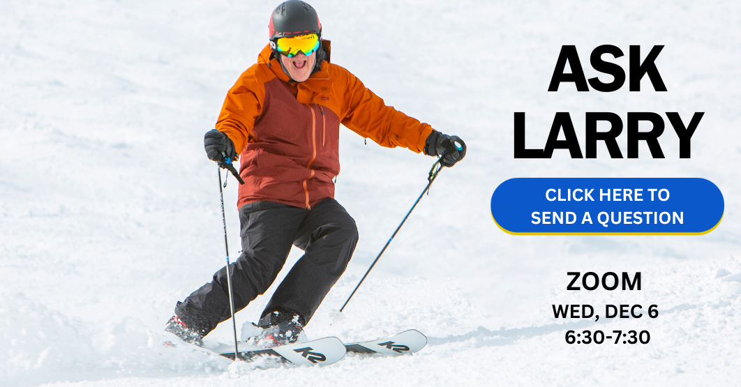
On Wed, Dec 6th I'll be doing a Zoom presentation and can take your questions in advance. Scroll down to submit your question or watch and ask live.
I'll have another update this Thursday. By then I'll have more details, but right now it's looking like an active snowfall pattern developing next weekend - but no guarantees. Hang in there, here we go.
His Excellency, The Exalted: Grand Poobah of Powder
- aka dear leader
larry schick - meteorologist
 P.S. - A salute to Steve Pool, longtime KOMO TV meteorologist. He passed away last Friday. As you know, I worked as a meteorologist on Seattle TV for two decades. I knew him and he was a first class gentleman and a wonderful TV weather forecaster/communicator. We will miss you and your warm smile.