Powder Alert 01-21
- SATURDAY: Steady snow for later this afternoon and evening with the heaviest snow for late this afternoon and evening and breezy at times. Winds at 20 to 30 mph later this afternoon. 4 to 6 inches+ snow levels at 3000 feet
- SUNDAY: Additional snow early in the day of up to 4 inches with snow levels at 2000 feet. Sun breaks for the afternoon.
- MONDAY: Slight chance of a few snow showers snow levels at 2000 feet. Trace amounts.
- TUESDAY: Snow levels at 2ooo feet with a chance of some light snow showers trace to 1 to 2 inches.
- WEDNESDAY: Snow levels at 3ooo feet perhaps slightly higher south of Snoqualmie Pass with a chance of some light snow showers trace to 1 to 2 inches.
During the day today and early Sunday, a trough of low pressure and an associated cold front will move in. Total snowfall? Some spots in the Western Washington Cascades can see up to 10" by Sunday morning: Baker, Stevens Pass, Snoqualmie Pass, and Crystal Mountain. But most models say at least 5 inches.
With the cold air mass remaining in place for Monday and Tuesday and the chance of some light snow showers, we will continue to have some great snow to enjoy.
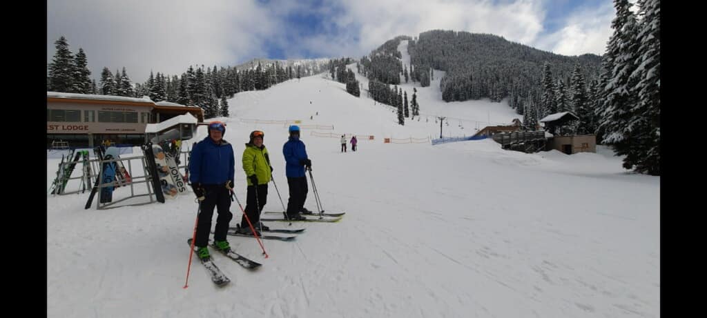
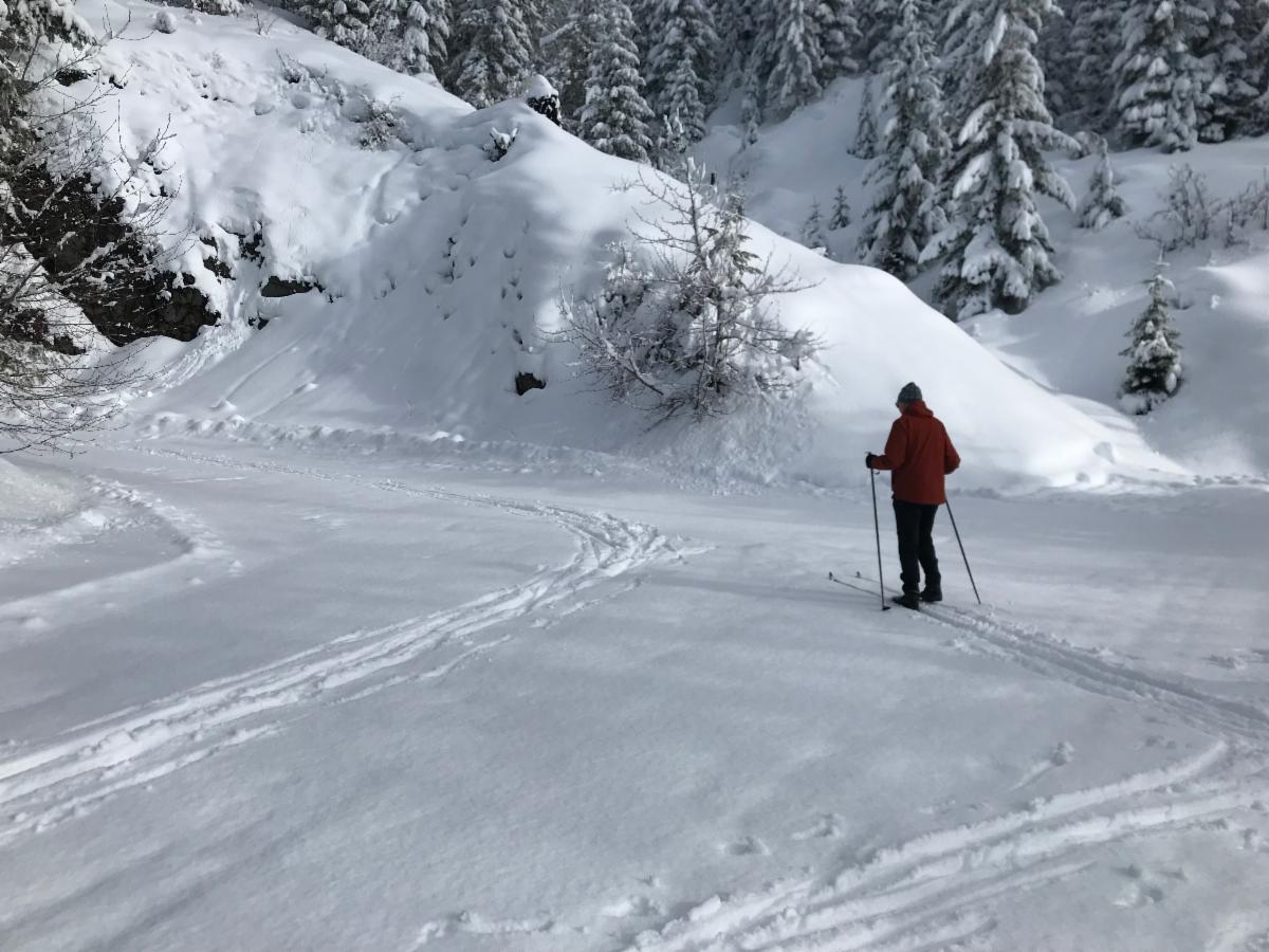
The first photo below is from this past Thursday at Stevens Pass from our friend Denis Du Bois. He found fresh snow (5") and sun breaks. This is what you will also find this Sunday, 5 inches+ of new snow. The next photo is Michael and his friend Ken cross-country skiing at Cabin Creek, east of Snoqualmie Pass with 5 inches of new snow this past Thursday. Should have another 5 inches+ of new snow this Sunday.
WORD OF THE DAY: friluftsliv
Who is scheduling their ‘friluftsliv’?
Scandinavians call friluftsliv (pronounced free-loofts-liv). The expression literally translates as “open-air living”❄️