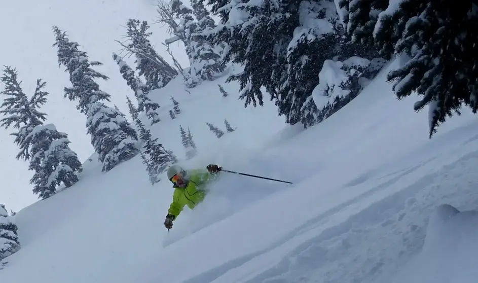
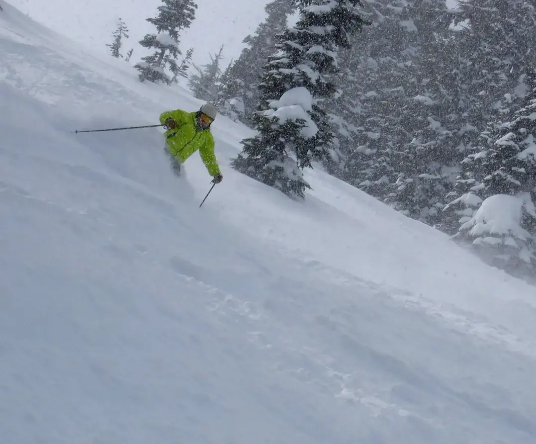
Dont let the sunshine out there fool you; another Cascade snowstorm is headed our way with low snow levels, once again. The 1000 ft snow levels, will mean great quality snowfall, with continuing cool weather.
The fun begins on Friday. The storm will just be beginning on Friday morning, so only expect minor new snow as you arrive. But it will be groomed up nicely, and both on and off-piste will be fantastic from recent new snowfall.
You will ski in increasing snowfall on Friday, with 3-6 falling during the ski day (9-4 pm).
There will be more new snow overnight, but the storm eases, so expect 2-5 additional new when you arrive Saturday morning. Again, the skiing will be fantastic with wonderful silky groomers and a refresh of new snow. There will 1-3 during the day on Saturday, with some breaks in the snowfall.
Sunday through at least Wednesday of next week will see sunshine at times, higher pressure and a dry northerly flow will prevail. On the slopes, there will be continuing excellent chalky/packed powder off piste and nearly perfect groomers.
Note to Oregon powder chasers: While BC and WA skiers see the sun, Saturday through Wednesday, Oregon will see continuing heavy snow with 2-4 ft possible as the storm track and possible moist atmospheric river plows into that region. Mt Bachelor will especially be in the bulls-eye, but from Mt Ashland to Mt Hood will see a lot of snow.
Your Grand Poobah of Powder
Larry Schick meteorologist


