


Jan 11, 2023
Hello Powder Alert Fans,
- THURSDAY: Moderate to heavy snow early in the day. During the afternoon, snow levels will slowly increase to 4500 to 5000 feet, so moderate to heavy rain at times for the lower slopes in the afternoon and evening.
- FRIDAY: Rain for much of the lower slopes during the day, but snow levels drop for the evening.
- SATURDAY Snow levels at 3500 feet with 3 to 5 inches of new snow.
Today we can expect mostly dry conditions during the daytime. However, this will be short-lived. We will have some major changes that take place later today and more likely on Thursday.
Early on Thursday the lower to mid slopes will get some new snowfall of up to 6 inches. However, during the day on Thursday, we will have strong southerly winds that will slowly bring in warm moist air, and what we don't like, an Atmospheric River. Thus, some moderate to heavy rainfall for the lower to mid slopes for Thursday afternoon and evening.
Friday will continue with rain for the lower to mid slopes. By Friday evening snow levels will finally lower, so we are expecting new snowfall of 3 to 5 inches on Saturday at 3500.
Sunday snow levels are close to 3500 feet with a chance of some light snow for the day.
Keep the faith.

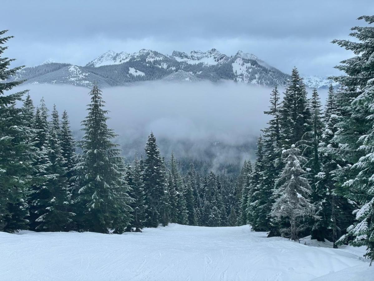
Photos by Shellie Oakley. In the picture below are Shellie, Randy, and their snow-covered grandson. Photos were taken this past Sunday on the new Hidden Valley Chair at Summit East. There is no such thing as bad weather, just bad gear. Looks like they are very happy with their good gear. The second photo is of Kendal Peak.
Make sure you always check:
Washington Department of Transportation
Road conditions will be changing often.
Thanks for subscribing!


