Hope you are staying warm, with this current storm still in progress for the mountains and lowlands. The snowfall part of the storm will start to wrap up this Monday afternoonhowever the bitter cold and wind will linger, combined with more sunshine for Tuesday and Wednesday.
This is the most robust lowland snowstorm and sustained cold we have seen in some time. A low pressure offshore is causing this cold and snowy weather. The low brings in moisture to combine with modified arctic air from the north, all mixing together with the strong gusty winds. This is the classic and textbook Seattle snowstorm. However, forecasting total snowfall amounts are always tricky with this type of system and that has been the case for this storm. My original lowland forecast, a couple of days ago, was trace to two inches, with moderate to high uncertainty in the snowfall totals, but high confidence in the cold.
Driving around the lowlands (and mountains) will be hazardous with the snow, ice, and wind, so be careful. Check road conditions. Always have survival gear in your car blankets, snow shovel, extra clothing, food, water, etc.
Snowfall in the lowlands has been 3 - 9 (or more) with blowing and drifting snow. The mountains have seen 1-6 this morning, with bitter cold and low wind chill factors putting an extra bite of cold in the air. BTW if you live in the Puget Sound lowlands shovel the snow in your driveway and walkways before you drive or walk on it. Because once it gets compressed (walked/driven on) and turns to ice it will take a jack-hammer to get rid of especially since the days ahead will be cold with the snow not melting quickly.
Coming up in the mountains.
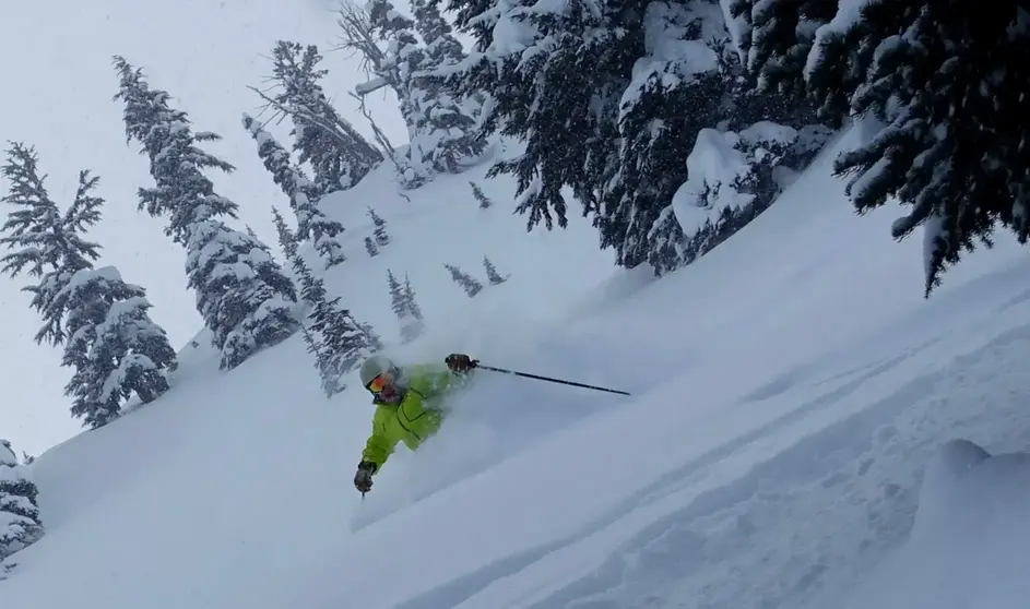
Because of the cold, snow quality will be excellent, once the windblown drifts get groomed. The snow should be squeaky and smooth. Off-piste expect variable with drifts, but good snow - however, maybe feeling a little firm underneath. Visibility will improve Tuesday and Wednesday with more sunshine. Really bundle up, as it will be cold with below zero wind chills. Actual temps in the single digits/ teens and 20's. Dress with as many layers as you can, use a mask, stop into the lodge for hot chocolate. It will be really, really cold! Did I mention the cold? Get that OR and Woolly clothing. And Sturtevant's will have everything you need from hand warmers to a new jacket or face mask.
A new cold snowstorm will move in early on Thursday with lingering snow showers for the weekend. Snowfall will be 6 12 in the mountains - Thu -Sat. I like Thursday and Friday with this storm for great quality powder and snow levels of only 200 500. But be prepared for more lowland snow with the low snow levels (200 ft) and with hazardous driving in the lowlands. I have found when this situation occurs (very low snow levels), sometimes the mountain roads are in better shape than the lowland roads, because they deal with snow all winter. At any rate, drive slowly and carefully.
Despite the chill, I like the weekend coming up, with new snow and silky groomers.
Your Grand Poobah of Powder
Larry Schick meteorologist
