


Powder Alert 02-26
- SUNDAY: 6 to 10 inches of snowfall with snow levels at 500 and lower at times.
- MONDAY: Low snow levels with snow up; to 2 inches.
- TUESDAY: Continued cold with some light snow.
- WEDNESDAY: Cool with some sun breaks.
Make sure you always check:
Hello Skiers & Boarders,
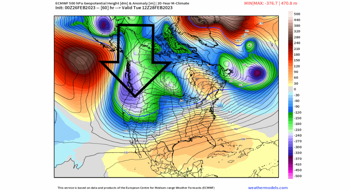
During the day today, we are expecting 6 to 10 inches of snow and breezy at times for the mid to upper slopes. Monday we will have snow levels close to 500 feet with an additional 2 inches of powder expected. The map below shows a trough of low pressure over our region on Tuesday which will continue to bring cold air in from the north. The main part of the storm track and associated moderate snowfall will be to our south later Tuesday and Wednesday. On Wednesday, some models bring some sun breaks.
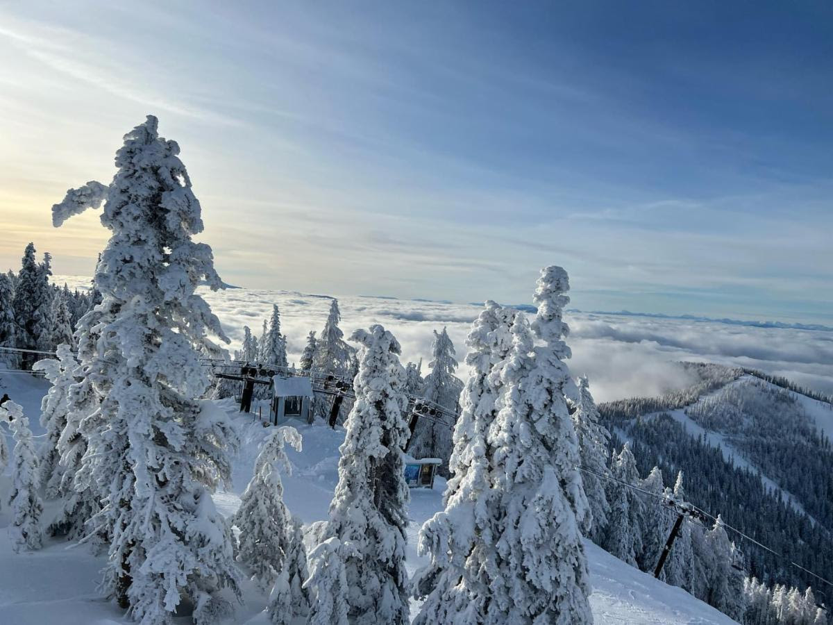
The second photo below is from this past Thursday at 49 Degrees North.
(Photo is credited to 49 Degrees North.)
Extended Outlook
Next Powder day? On Thursday, forecast models bring an area of low pressure into the Cascades with new snowfall, additional snowfall next weekend, and continued low snow levels of 1000 feet or lower.

Don't Forget our XEVO Optics Giveaway! Three (3) subscribers will win from XEVO goggles. Choose from Mag 2 check the website. Winners get cool stuff.
Need something sooner? XEVO Optics.com Use code: POWDERPOOBAH
How to ski in flat light, low light, crappy light, and fog??
- Wear the right goggles.
- Follow the tree line.
- Use the piste markers.
- Ski in a group & stick together.
- Don't ski faster than you can see.
- Change your elevation.
- This is where you need your foundation skills.
- If you get sunshine...LUCKY YOU. XEVO has that too.


