Hello skiers,
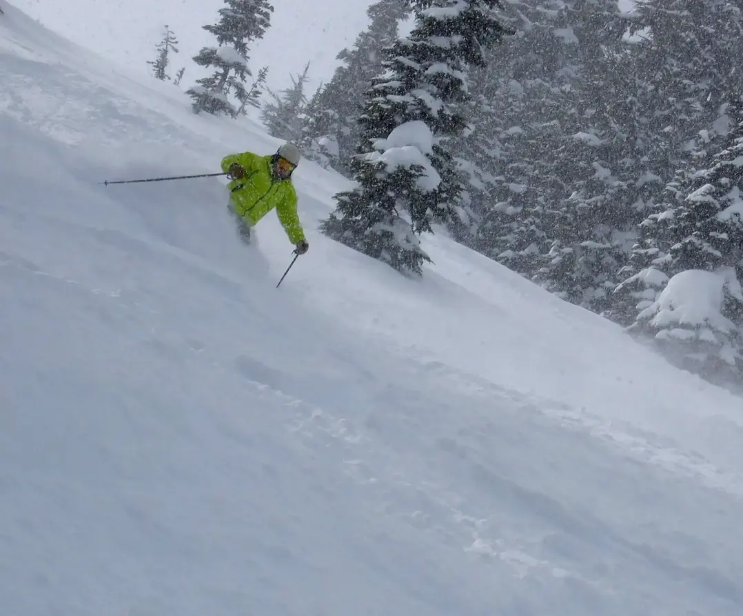
Hope youre enjoying the sunshine and warmth for this Saturday (25th) afternoon. Try to get outside and soak in the sun. Enjoy it, because the party will be over on Sunday with more clouds and rain here comes fall and then winter snow. It will be especially stormy next week with snow in the mountains (SL 6,000ft - upper ski slopes) as a series of storms plows into the NW.
It looks like La Nina is evolving and that means I have good confidence with an encore of wonderful NW snowfall. I hinted at the return of La Nina last spring and sure enough Mother Nature listened. She wanted to make the Grand Poobah and his kingdom of snow lovers happy. La Nina is our best predictor of near to above normal snowfall for the NW (WA &OR). And that goes for the Inland NW too (ID/MT). Add Whistler to favored snowfall with La Nina as well. However, there are no guarantees and we dont know how the snow will unfold. Will the bulk of the snow fall early, mid or late season? Or fairly consistent like last year with an early start (Dec) and a fantastic finish (Feb-April) that was one of the best.
In the weeks to come Ill have more details on La Nina and how it favors the NW with mountain snow. Plus, details how the tropical ocean temperatures interact with the air above to deliver the goods for the NW.
Coming up this fall well have a few gatherings at sponsor venues, where well will go into details about the winter ahead and increase the stoke for a great NW snow season ahead.
In the meantime, please support out sponsors and tell them thanks - they make this free email newsletter work. Remember they are avid skiers too!
Your Grand Poobah of Powder
Meteorologist
Larry Schick
