Hello skiers,
More snow is coming, but these are weaker storms with less snowfall. The snow levels will be between 2,500 and 3,500ft, so occasionally there may be sticky snow on the lower slopes. Next week might see an atmospheric river storm with warm air and rising snow levels oh say it aint so.
Tonight and very early Friday morning will see the snowfall increase with 2-4 (SL 3,000) by mid-morning. The snow will taper off in the afternoon, as the weather front moves east.
I like Saturday with a break in the action and partly sunny skies. Get there early for best groomers. Off groomed should remain good, but favor the north facing slopes for best snow quality.
A new minor storm with 1-4 (SL 3,000) will move in early Sunday, with lingering light snow all day. Another minor storm will move in on Monday with a slightly rising snow level
(3,500ft). A more significant atmospheric river storm will bring wet and warm (SL 5,500ft) conditions Tuesday and Wednesday. This will be problematic with rain falling on snow not ideal, but that why we have great waterproof clothing (see OR and Sturtevants sponsors). The rain will not wipe out the snowpack, only consolidate it. But a minor amount will melt away from the lower slopes. Details to come.
Field report
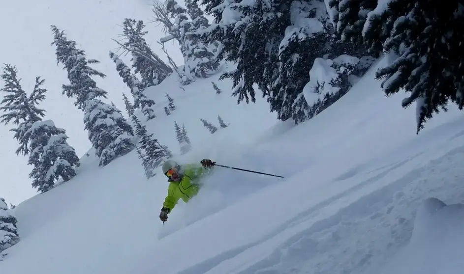
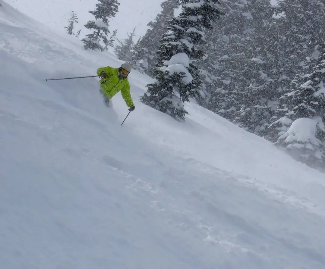
I was up at Crystal today (Thursday) and skied in the sun for the early morning. The groomers were superb. The conditions on and off-piste were very good. I did short South, with a mixed bag of conditions but generally good and always a fun adventure. Thanks to the recent snowstorms, nudged by La Nina aiming the storm track our way, the snowpack is above normal in most areas and the snow coverage is excellent.
Your Grand Poobah of Powder
Larry Schick - meteorologist
