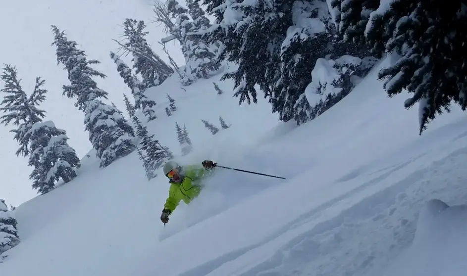
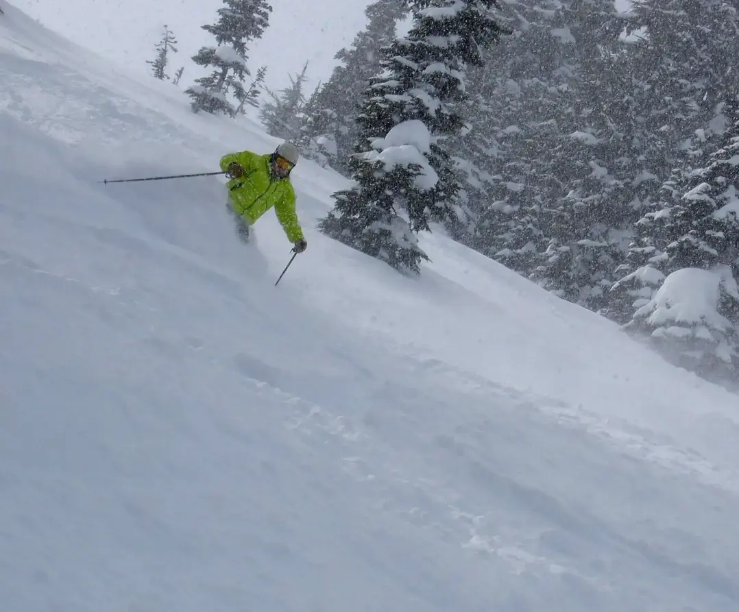
Expect more snow this week.
It wont be a colossal Cascade snowfall, but rather a couple of modest storms. The first one will be mid-week, with another following up on Friday.
Unfortunately, the weather has warmed up. The cold arctic air we had last week and into early Sunday (Dec 1) has been replaced by milder maritime air. As a result, the snow levels have climbed to about 4,500 feet. That means snow will fall on the mid and upper slopes, with a wet snow mix on the lower slopes.
The first system will be worth 3-6 on Wednesday as the system slides in from British Columbia. Hey, every bit helps.
There will be a break on Thursday. Then a complex system moves in from the West on Friday and Saturday, with the bulk of the snowfall going south into Oregon and mainly California. That system will produce 3-8 for the WA Cascades and also the snow will fall with a lower snow level, about 3,500 ft.
The good news here snow is falling and snow levels are lowering and the potential snowfall this week is 6 -14. Slowly we are building the pack.
Ill have an update later this week to refine the weekend forecast and look beyond.
Happy Holidays
Your Grand Poobah of Powder
