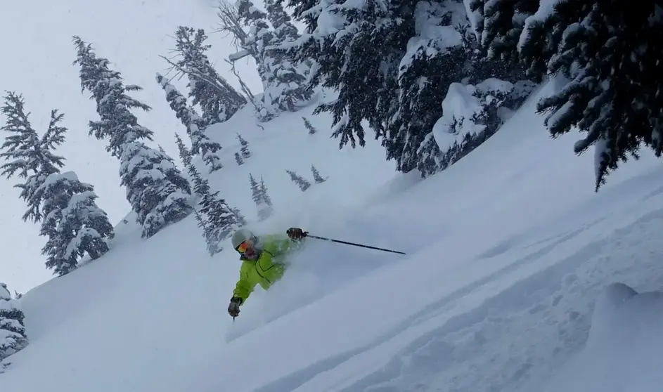
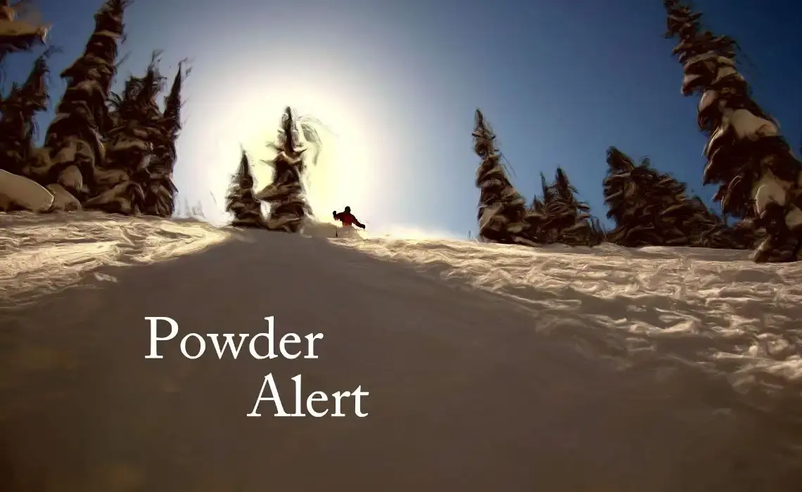
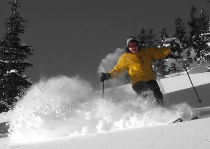
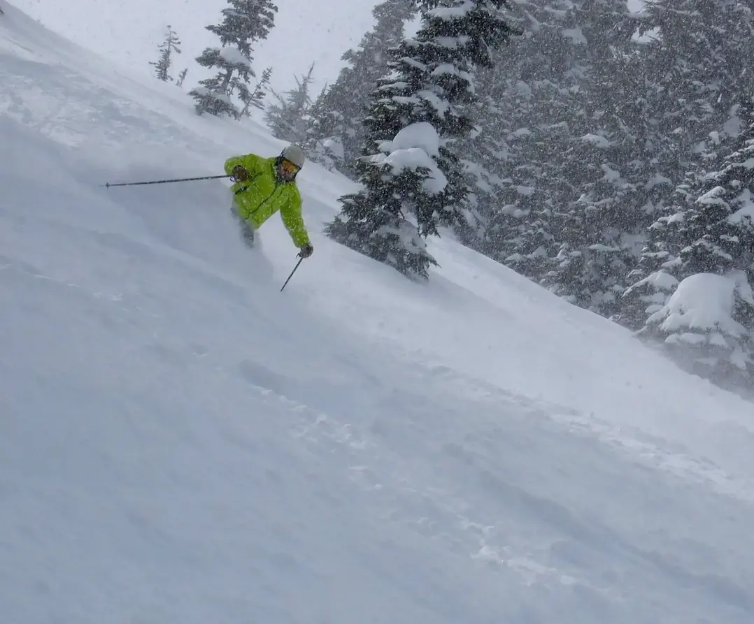
You can bet on some great skiing the next few days, but there is a minor snag in the powder program early Saturday morning for a short time.
Expect a good round of snow Friday and early in the holiday weekend, while Sunday will see cooler weather with snowfall rates easing up as snow quality improves.
Heres how your snow and skiing will evolve with two storms in the lineup.
The first system is moving through Thursday night into early Friday (18th). Snow levels will be 3,500 4,500ft. Near the base areas, you might see rain mixed with snow. But it will be all snow on the mid and upper mountain. Expect 3 8 up top, by mid-morning (Friday), then another 1-4 during the day, with a possible short pause around lunchtime.
Expect a new system coming in Friday afternoon into Saturday with a rise of the snow level in the very early hours of Saturday to 5,000 to 6,000 ft. That means a rain/snow mix to mid-mountain. Snowfall totals will vary widely 4-12. Exposure to the warmth will be limited as the snow level drops to 4,500 ft by lunch on Saturday. The timing of the Saturday temperature transition is not guaranteed; it could be earlier or later.
Sunday and Monday look good with snow showers at times, but also possible clearing especially Monday. I like the fact the snow levels lower to the 2,000 - 3,000 ft range, as a result, I favor Sunday and Monday over Saturday, if you have the choice, with better quality snow, but I concede, not as much new snowfall. Really, the whole weekend looks good.
Expect light to moderate new snowfall on Tuesday and Wednesday with the snow level rising a bit to 3,500 ft.
Your Grand Poobah of Powder
Larry Schick meteorologist
