Hello Skiers,
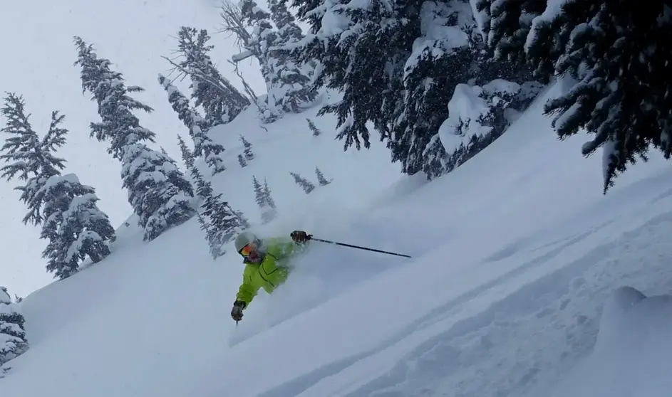
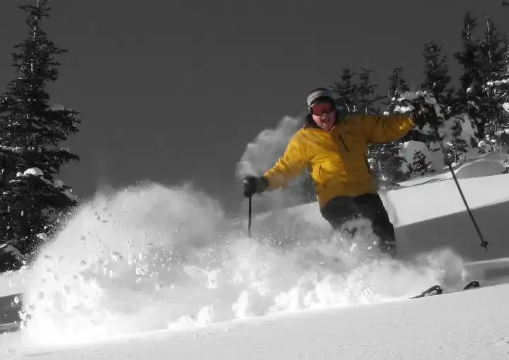
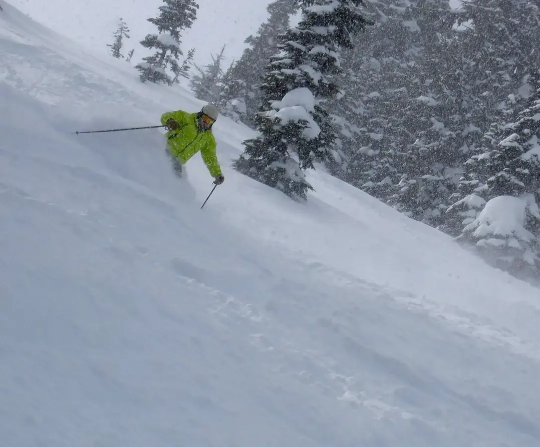
After a big powder weekend, the snowfall in the Washington Cascades will taper off overnight into Monday morning. Youll find 2-5 of new cold, dry snow on Monday morning for fresh turns off-piste with smooth, silky groomers on-piste.
You are really going to need to bundle up this week. Temperatures in the mountains will range from single digits to lower 20s. There may be a little snow at times (trace-3), but this cold pattern is mainly a minor snow producing through mid-week. There is very cold modified arctic air invading the Northwest from BC producing the chill.
Expect increasing snow on Thursday, then a new weather system on Friday and Saturday will bring warmer temperatures, with the snow level rising from sea level to 2,500 ft. Hey, that is still pretty low, so expect good quality snow coming up. Cascade snowfall will increase with substantial new snowfall for next weekend.
Get ready; it looks like another Powderfest for the weekend ahead.
The Grand Poobah of Powder
