


Powder Alert 02-05
- SUNDAY: Snow today for mid-mountain. Moderate snow this evening near Snoqualmie Pass.
- MONDAY: Snow early then light snow showers on and off during the day
- TUESDAY: Snow levels at 3000 feet with 6 to 10 inches of snowfall.
- WEDNESDAY: Light snow during much of the day with snow levels at 3000 feet.
Keep reading for details.
Make sure you always check:
Road conditions will be changing often.
Hello Skiers & Boarders,
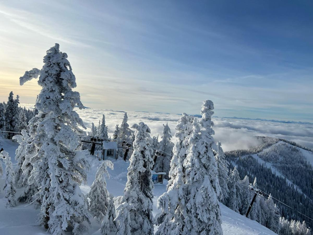
Here are some snowfall totals in inches from yesterday:
White Pass 2
Stevens Pass 4
Snoqualmie Pass 3
Mt. Baker 4
Crystal Mt. 5
Mission Ridge 3

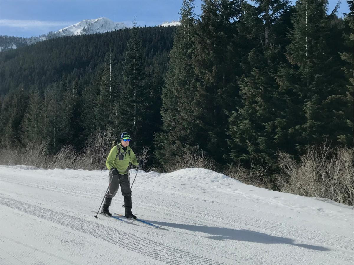
The photos below are Michael Fagin skiing Stevens Pass Nordic Center Main Line Trail about 4 km (the trail goes 7 km). Great grooming over hard-packed snow.
Extended Outlook
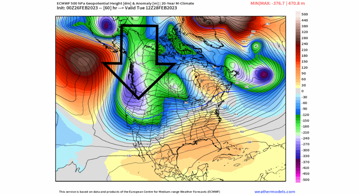
For this coming Thursday 2-9 and Friday 2-10 forecast models have a ridge of high pressure (map below) that briefly sets up. If this pattern occurs, any snowfall would be limited over this time frame for most of the Cascades (except Mt. Baker.) We can expect some sun breaks on Thursday.
Next weekend more snow as another trough of low pressure and cold front move in. This is certainly an extended outlook but forecast models are consistent in bringing another 10 to 12 inches (red colors in the map below) of powder next weekend. This is snowfall for the 24 hours ending Sunday (2-19) at 4 pm. We will update you this Thursday.


