Hello Skiers,
An active weather pattern with additional snowfall for the Cascades will continue through early next week. The high snow levels of Thursday are behind us and the snow level will be slowly dropping. The snow levels for your weekend from Friday through Sunday will be surprisingly steady, from about 4,000 to 4,500 feet. That means a chance of a snow rain/mix on the lowest slopes but snow will fall on the mid and upper slopes. Snow levels will drop further (2,500 -3,500ft) early next week, with additional snowfall.
The timing of breaks in the weather and when the snowfall will occur from each individual snowstorm for the next few days is uncertain and will vary. The heaviest snowfall will favor North Cascades (Stevens and Baker) and Whistler, but the upper elevations of Crystal will benefit with more snowfall considering the colder higher elevations of their upper slopes. Expect 2-7 of snow Friday morning, with a little more possible during the day.
Saturday will see snowfall in progress early (2-5) with a chance of partial clearing later in the day. Sunday will have snowfall from overnight (2-6) and the possibility of partial clearing by later in the day.
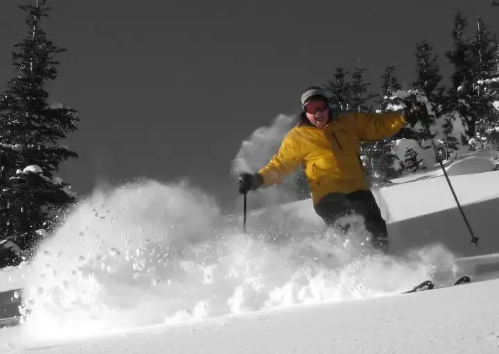
Days are getting longer, light is better, and snow coverage is now near or better than normal. Time to get a few turns. Have a great weekend skiing.
The Grand Poobah of Powder
