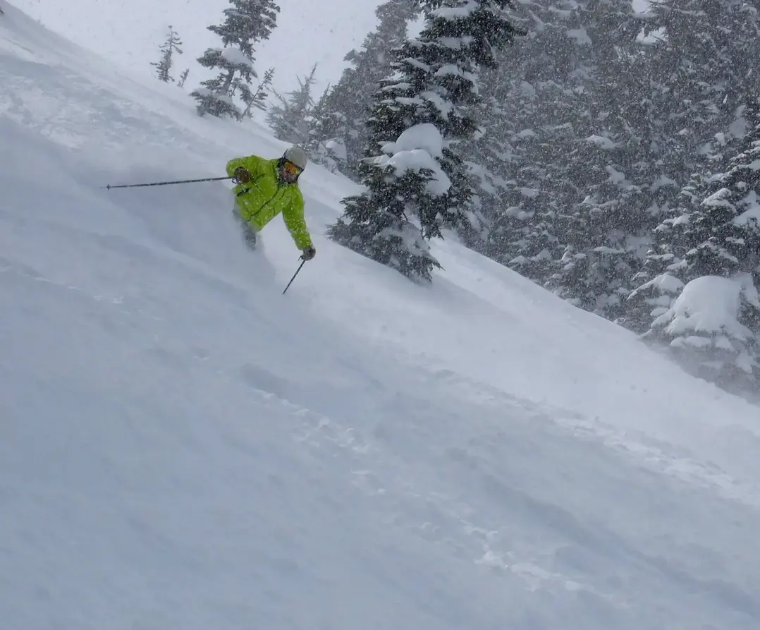
Hello skiers,
Get ready, get set. Here we go, it's snow time!
Snowfall will hammer the mountains of the NW for the next week.
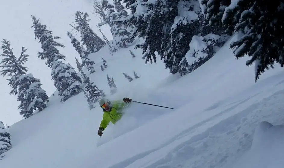
The fun begins as the snow starts to increase later Thursday afternoon into Friday, as the first storm will be worth 4-8. Part two will be a more vigorous storm with heavy snow Friday into Saturday, with snowfall continuing into Sunday. The snow will fall with relatively low snow levels (2,000-3,000ft). Yes, all ski slopes will be getting snow and lots of it. The pattern is active with several storms and will continue into next week.
There will be blowing and drifting snow on the upper slopes due to high winds, but that is good because the drifts pile up the snow to cover some of the steep areas and fill in certain spots.
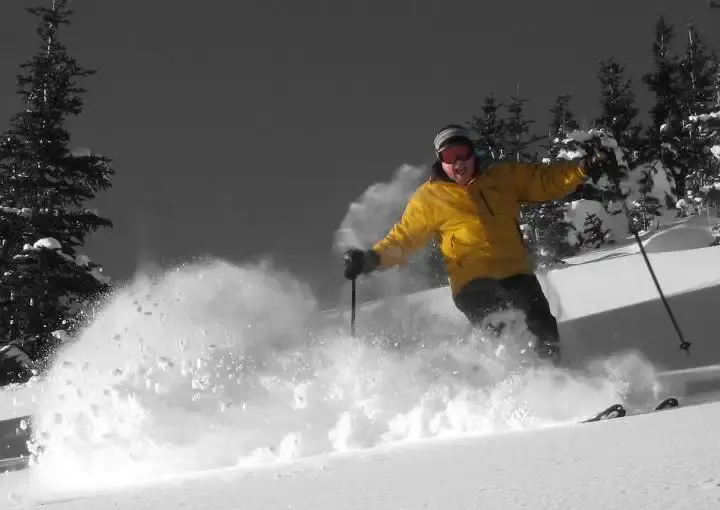
Between late Thursday and Sunday, we will see 1-3 ft of new snow in the mountains. That is on top of what we already have (about 10-30). By next week, the snowpack will be getting deep enough to open for some ski areas. However, every area has its own schedule and opening criteria. Next week the snow level will bounce slightly upward on occasion (4,000 ft, lower slopes) with a rain/snow mix, plus the snowfall may not be as continuous. The rain snow mix on the lower slopes will be limited, so dont be overly concerned. Actually, its good to have some heavier snow early in the seasonal snowpack to form a good, solid base.
This weather pattern for the next week is a solid start to the season.
As usual: timing and snowfall amounts, are not guaranteed. This is a challenging storm series forecast with a lot going on. That said, I feel fairly confident we are in for a wonderful NW snow cycle, with several storms creating abundant snowfall.
The new ski season is knocking at our door
Your Grand Poobah of Powder
Larry Schick - meteorologist
