Hello Skiers,
We can expect rising snow levels for today and Sunday, Christmas Day. This will bring some moderate to heavy rainfall, which is called an AR- Atmospheric River. However, in short term, some locations will be receiving a freezing rain mix. So if you are traveling make sure you constantly check the Washington Department of Transportation site. Conditions will be changing often.
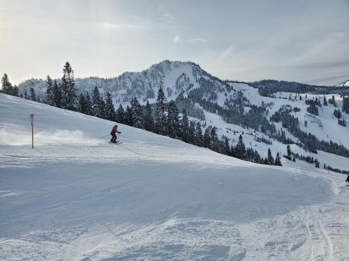
However, there was some great skiing earlier this week. The photo below is from Denis DuBois on Stevens Pass this past Thursday. This is from the Showcase run, looking across the resort at the black diamond zone known as 7th Heaven, or more generally, Cowboy Mountain.
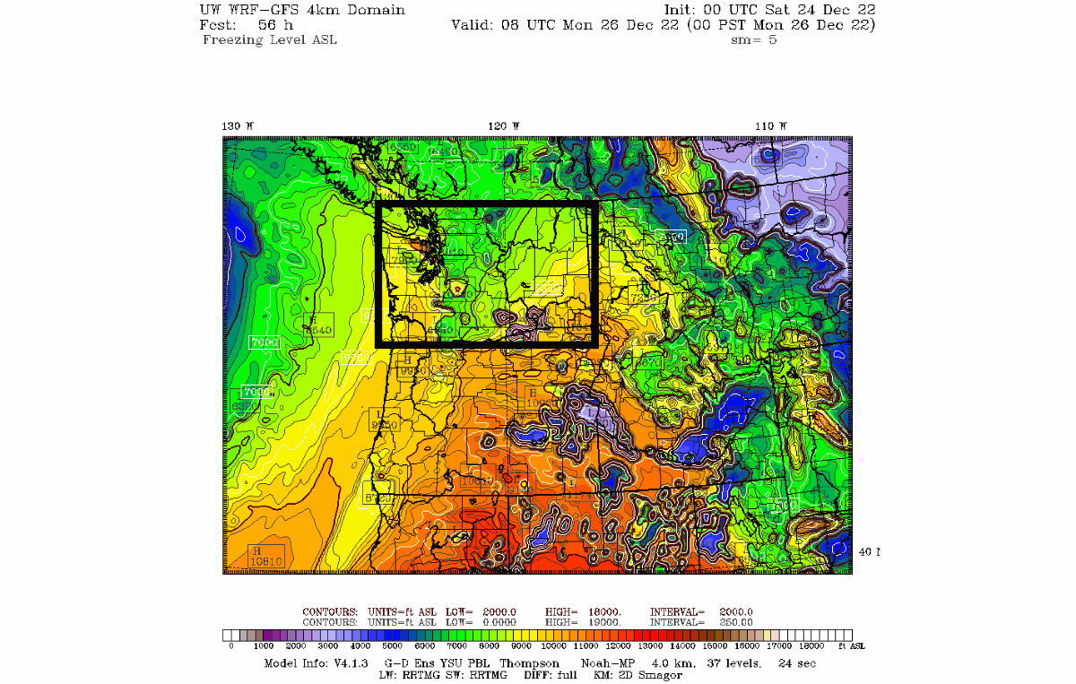
s snow back in the forecast? Yes, we will slowly get there but will have to first deal with high snow levels. The map below is for freezing levels on Sunday night with green colors (6000 to 7000 feet) for much of the Washington Central Cascades. We "usually" get snow 1000 feet below freezing levels. These elevated snow levels will remain in place for Monday 12/26. Thus, more rainfall at times and likely moderate rainfall (AR- Atmospheric River).
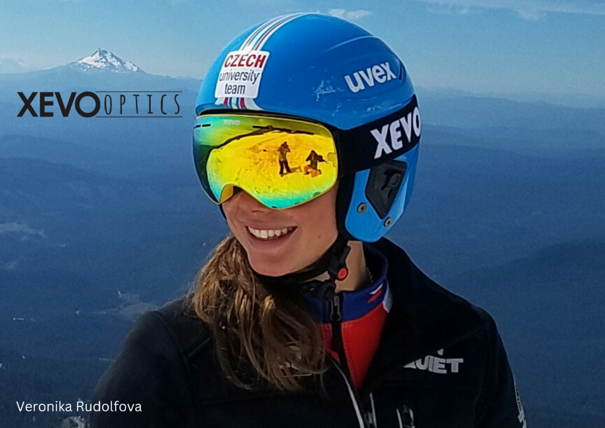
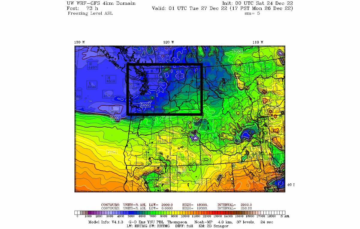
We do get some new snowfall late on Monday night. The map below shows freezing levels drop to 4000 to 5000 feet; thus snow at 3000 to 4000 feet. On Tuesday levels bounce around during the day so we will get some snow for the mid-mountain slopes. Wednesday snow levels are at about 3000 to 4000 feet with areas in the Washington West Cascades expecting 8 to 14 inches of snowfall and also 10 inches for Inland areas like 49 Degrees North and Silver Mt. With the moderate snowfall perhaps some Xevo goggles are needed.
What is the extended Outlook for New Year?
Well, we have great news! The extended outlook will continue with snow levels at 3000 to 4000 feet with snow on and off from this Wednesday (12-28) to the New Year.
XEVO GOGGLE GIVEAWAY
The Winner is . . . Geoff K.
Subscriber since 2015 - has been contacted.
THANK YOU FOR PARTICIPATING