Hello skiers,
The holidays are wrapping up, but the snowfall continues.
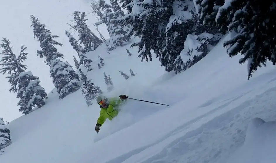
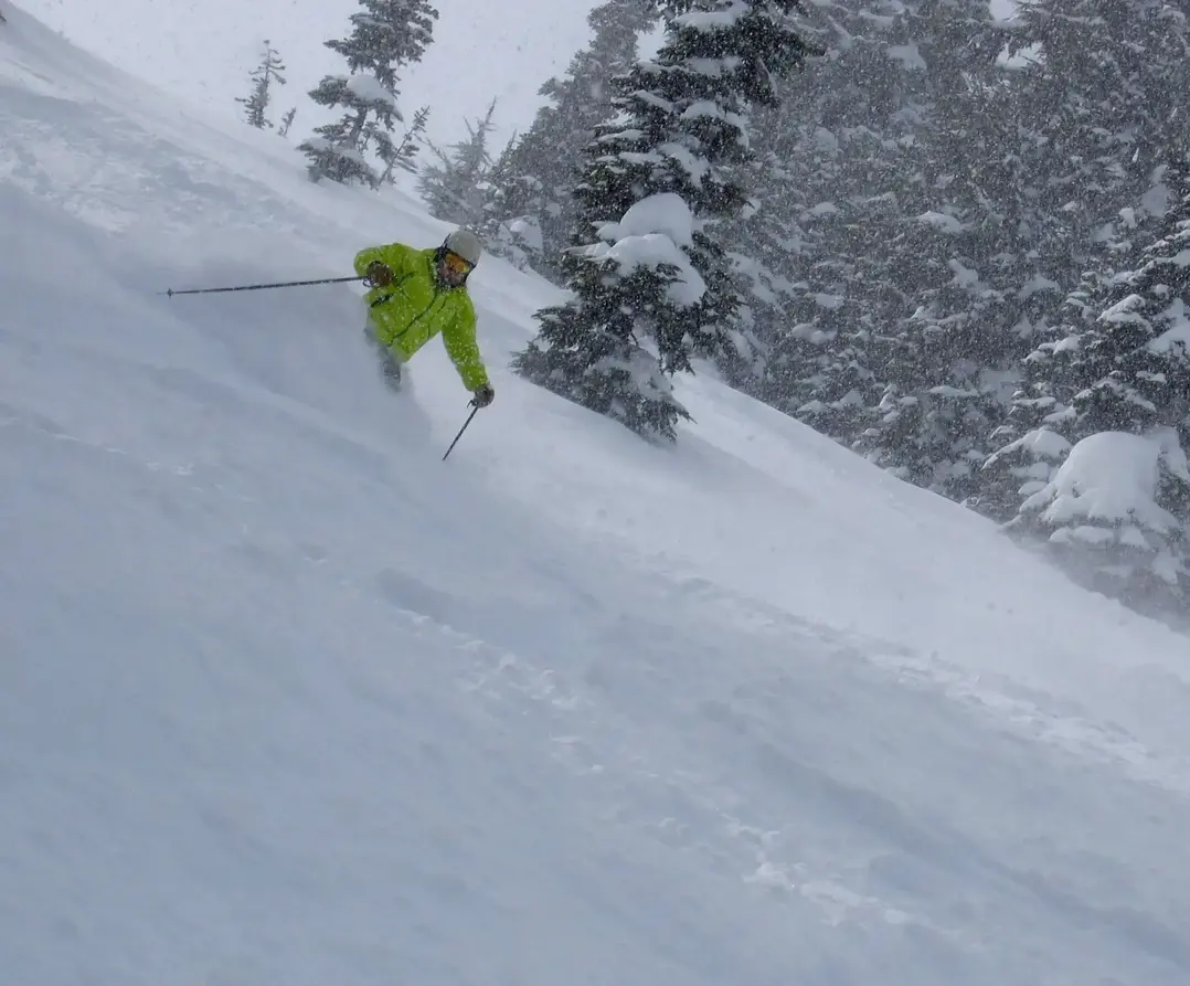
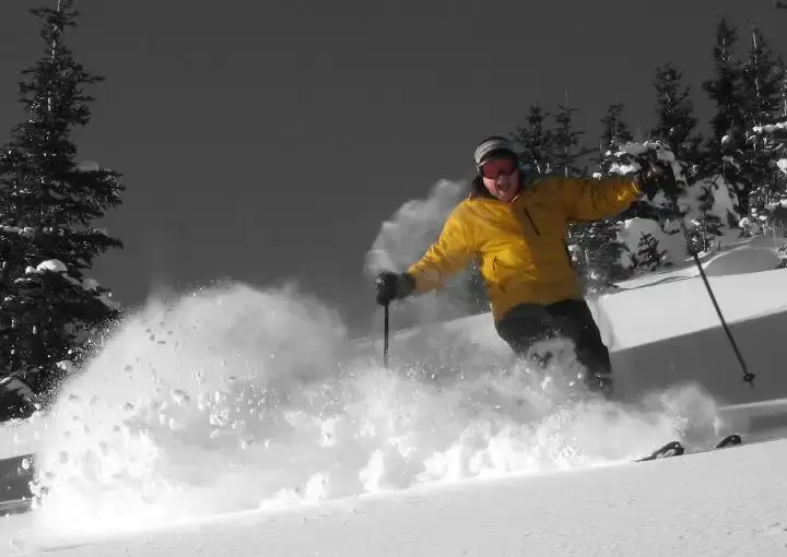
I am issuing a Powder Alert for Monday and Tuesday. Plus well have more snow later in the week.
A cold front with heavy snow is coming in this Sunday evening and overnight, with continuing snow into Monday.
The snow level will dip to 1,000 ft on Monday. That means quality and quantity with 10-25. The usual caveats apply; avalanche control, ridgetop winds and possible delays with this robust snowstorm. The 10-25 of snow (possibly more,) is in progress and will continue into Monday evening. Expect lingering light snow in into Tuesday. I like Tuesday, as the storm ends with partial clearing. There will be lots of fresh snow off-piste and fabulous ski conditions remaining..
Late Wednesday/Thursday will see snow levels rise, as mild air comes in with a warm front. The rise will be modest (2,000 3,000ft). Snowfall will increase again later Wednesday and into Thursday with a new storm moving into the NW. The snow levels will lower, by Friday as snow tapers off.
The upcoming weekend will see high pressure move in with a chill in the air, but at least partly sunny skies. Get out and enjoy the snow.
Larry Schick
meteorologist
The Grand Poobah of Powder
