Hello Skiers,
Lots of snow is coming our way, with a very active week of weather ahead. It all starts early Tuesday. There is potential for 1-3 feet or more of snow from Tuesday to Sunday.
The snowfall will be more on than off this week, however there will be some breaks at times. I have high confidence in this pattern as several storms will pile up the snow for the Cascades.
One issue; there will be two short periods this week the snow level will be a bit tricky with a temporarily rise (later Tuesday & early Friday). Otherwise, its all snow. Note: snowfall timing and snow levels may shift, but there will be lots of snow.
Tuesday expect snow to fall all day with a snow level (SL) of 4,000 ft (lower slopes) to start the day, then rising to 5,500 (mid/ lower slopes) by lunch. Total snowfall will be variable 2-7. SL may rise further to 6,000ft by Tuesday night, then lower to 3,500 by Wed morning with 4-12 of new (different elevations and ski areas will have wide variations). New Years Day (Wednesday) expect more snow showers, but tapering a bit, with a 3,500 ft snow level looks good.
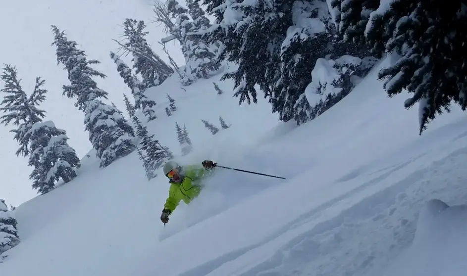
Thursday, I really like. Powder Day! There will be new snow (3-10) with a low snow level (1,500ft) great snowfall quantity and quality for all.
Friday the snow level pops up a tad to 4,000 ft, but expect snow heavy at times, with SL lowering late Friday night.
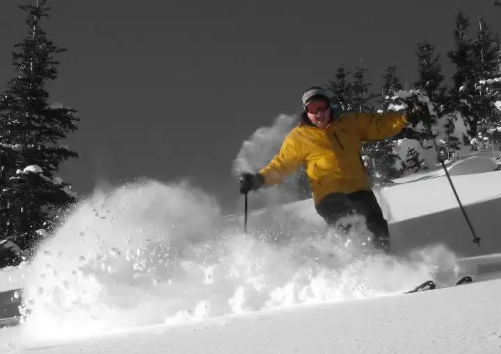
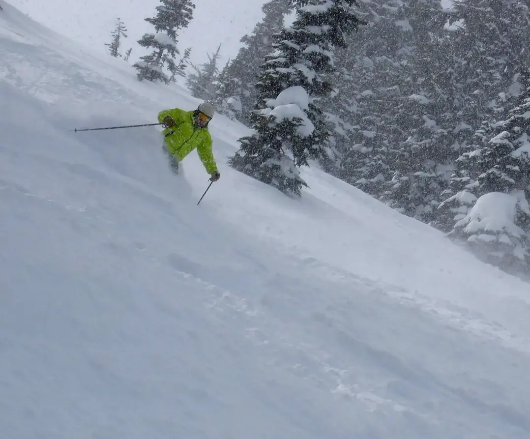
The weekend looks terrific. Saturday and Sunday will see more snow at times with low snow levels (1000-2000ft). Saturday morning looks like a big powder day, expect 6-12 new with low snow levels. Another shot of snow Sunday will provide another major snowfall refresh with a bonus Powder Day - WOW.
There will be more snow next week. I think we are getting it dialed in
All the new snowfall will greatly help with snow coverage and snow surface conditions on the slopes.
Happy New Year - get out and enjoy.
The Grand Poobah of Powder
