Hello skiers,
The party is not over...more powder skiing for the Cascades is on the menu.
A moderately strong storm will move in on Wednesday with respectable snowfall. The snowfall will increase from north to south on Wednesday, as the storm moves through the Cascades. The bulk of the snowfall will be later Wednesday into early Thursday.
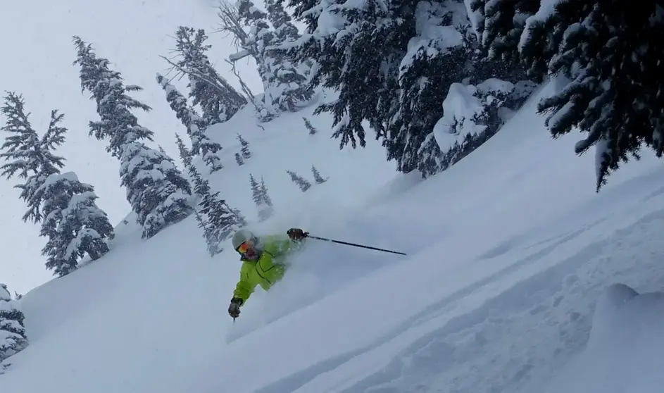
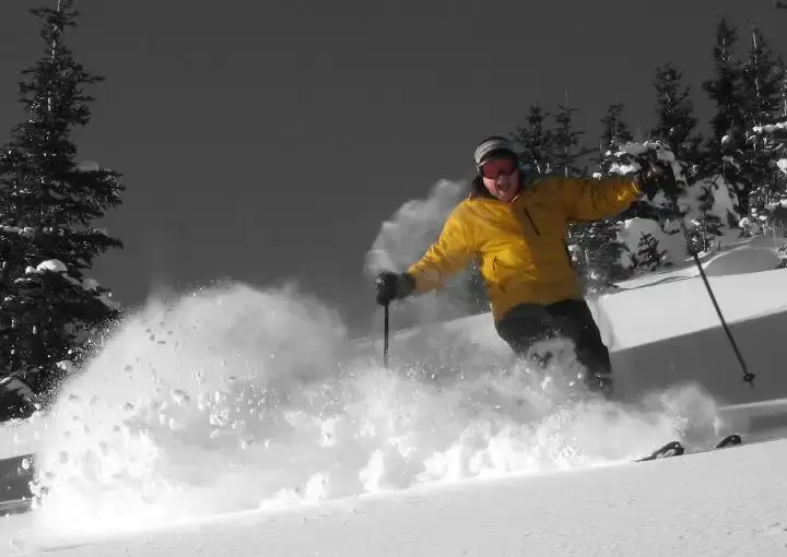
Thursday will be the day! Expect 5-11 of new snow by Thursday morning and a snow level of 2,000 ft with snow on all slopes. That means good quality and pretty good quantity. You want to get on it early before the clearing takes place by lunchtime and degrades the snow quality. You should lean toward the shady north facing slopes for best quality. Also, a convergence zone may favor Stevens and the Summit with the deepest snowfall.
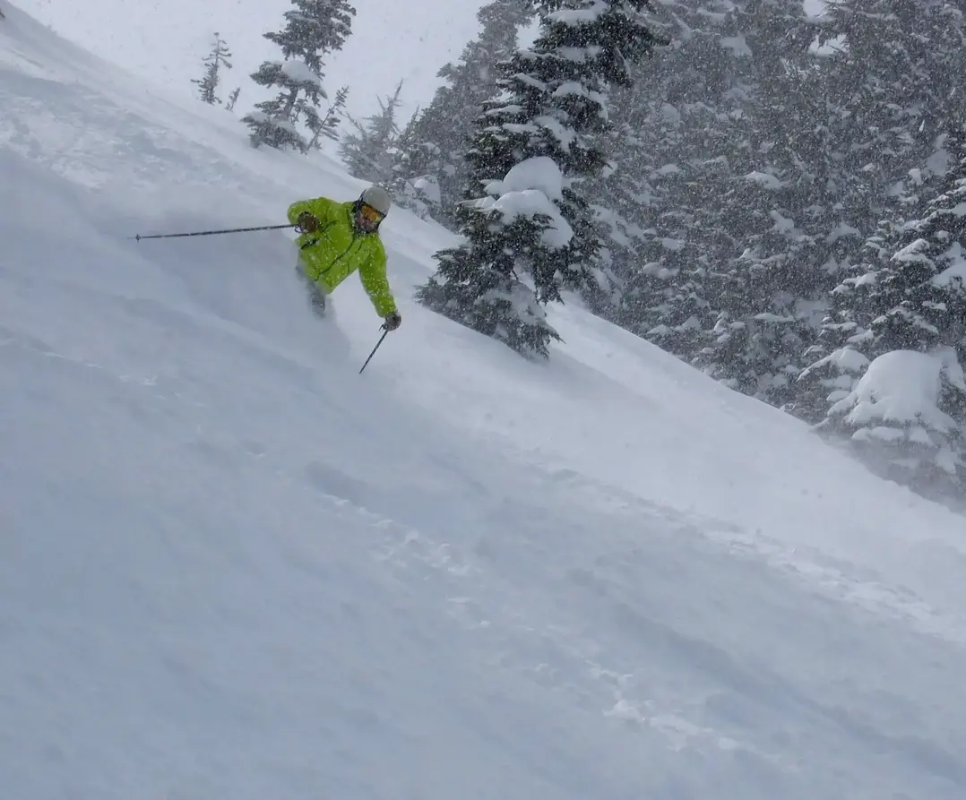
Friday will see partly sunny weather with wonderful groomers. Then a new storm approaches from the northwest. Snow will increase Friday night into Saturday. There is good powder potential on Saturday, with 3-6 in the morning when you arrive. Expect another 1-3 as Saturday unfolds and the storm continues but starts to ease by noonish. And with a snow level of 1,000 ft, this will be another quality powder snow storm.
Sunday will have spectacular groomers and great leftover powder stashes with partly sunny skies. Again, the sunshine will soften the snow pretty quickly, so get there early.
Thursday and Saturday may be the last quality powder of the season, so go for it. Next week the shows an extended warm and sunny pattern with no new snow and full on spring skiing.
Your Grand Poobah of Powder
Larry Schick meteorologist
