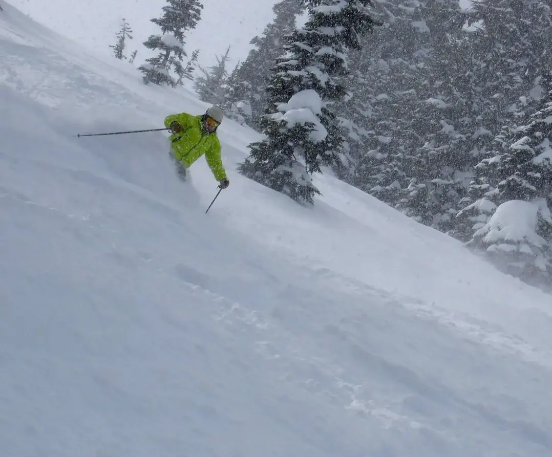
Powder Alert The real thing!
This will be one of the best powder weeks Ive ever seenwith low snow levels and a couple of surges of new snowfall into your weekend.
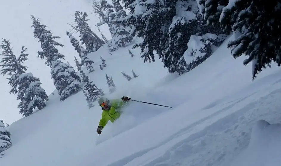
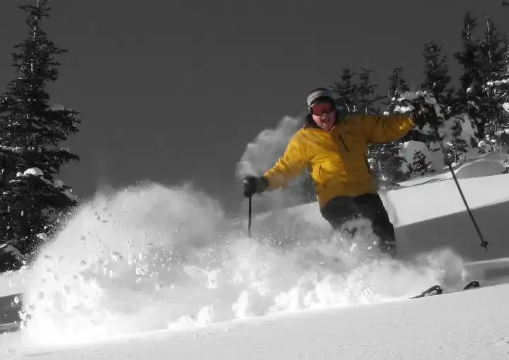
Three days of light dry powder, Monday - Wednesday then again Friday into Saturday. If you miss the early week pow fest you have another opportunity later in the week. The snow levels will stay low for the entire week sea level to only 500 ft. That means outstanding quality snow in the Cascades. There may be wind on the ridges from time to time causing drifting snow. Also, low visibility issues will be experienced with the wind and general heavy snowfall. Expect possible delays or closures of lifts or terrain due to weather or unstable snowpack. Do not ski closed areas or rope jump.
The first storm will be overnight tonight, Sunday night. Monday morning you will arrive to 4-9 of dry blower powder. There will be a break early Monday, then expect the next and more significant storm to come in Monday afternoon to Tuesday. The snow will begin again by Monday afternoon. By Tuesday morning expect 6-15 of light delight. Youll be skiing in the white room all day as snow continues to fall, with another 3-5 during the day on Tuesday. More snow will fall Tuesday night into very early Wednesday, with snowfall tapering off on Wednesday. Wednesday will be another perfect snow day with 4-10 as you arrive, but only snow showers during the days. Thursday will see some clearing with leftovers on Thursday, as good as it gets.
Another storm on Friday into Saturday will be worth at least 6-12 inches of fantastic powder snow. A break on Sunday will offer another round of unmatched snowfall leftovers.
You dont want to miss this powder storm cycle. Its rare we have sustained low snow levels and substantial moisture for snowfall over multiple storms for a whole week!
The snowy pattern this week really favors the WA Cascades all the way south into Oregon and California also the inland Northwest into Idaho with high quantity and quality of snowfall. This snowy pattern does not favor most of BC.
(Monday Wed): Lowlands of Puget Sound (Seattle) will see slight warming with a snow/rain mix at times. There could be some areas of freezing rain. Local lowland roads will be variable, ranging from partially clear from snow plow work to ice and or snow. There will be variable amounts of new snow on the road. Some areas may see 1-3 , some areas more than 12. Be careful driving and take it slow.
Your Grand Poobah of Powder
Larry Schick meteorologist
