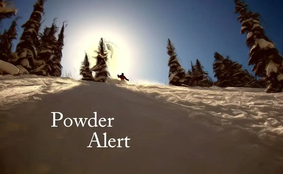
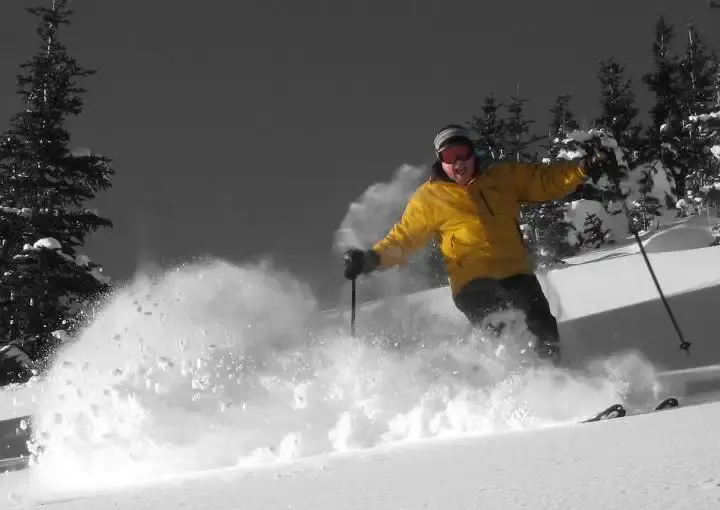
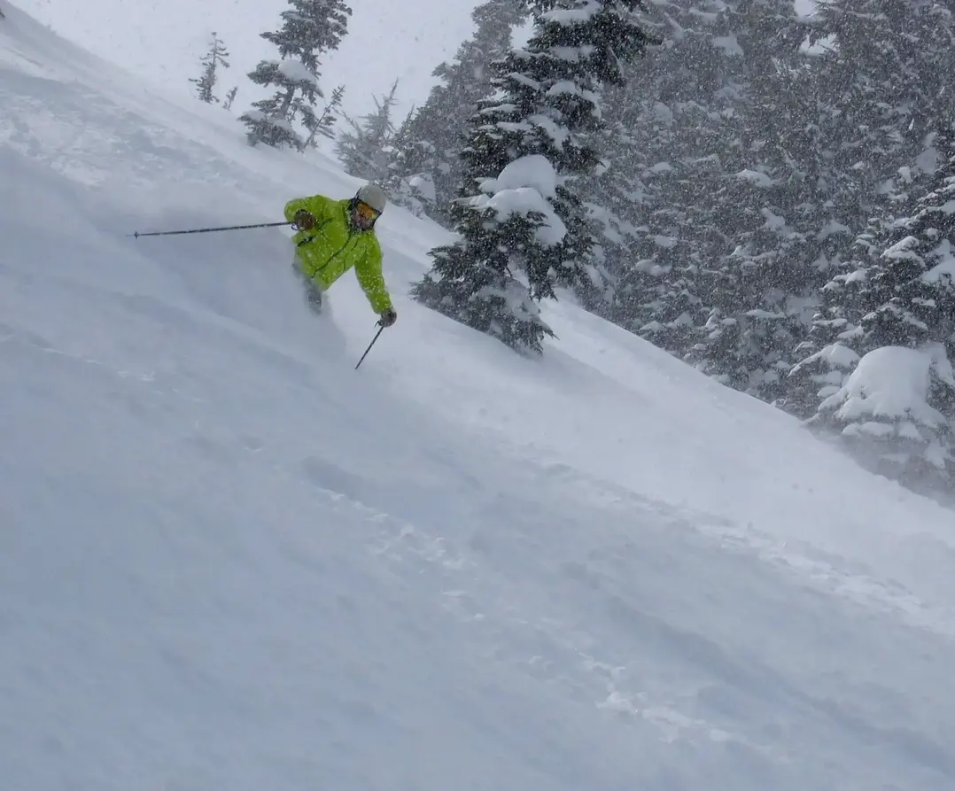
Powder Alert Tuesday!
A vigorous weather system is headed our way resulting in a fantastic powder day for the Cascades on Tuesday. The snow begins later today and continues through tonight and part of Tuesday with snow levels about 2, 500 ft . That is low enough for great quality snowfall. A convergence zone (CZ) will form in the wake of the storm, with a bit lower snow levels, causing even better quality snow toward the end of the snowfall cycle. That CZ will cause an enhanced extra shot of snow for Stevens, the Summit and Crystal. But e new snow at Whistler, White and Baker will also see impressive snow.
The snowfall will be right side up for this storm. That is; in the early part of the storm cycle the snow will be slightly denser. After that, a lighter colder snowfall will fall on top of the dense layer with the snow levels falling later in the storm cycle on Tuesday. This is always how we would like it. As you know the snow stratigraphy is sometimes upside down , with dense snow on top of drier snow that is not as good. This is a good storm right side up!
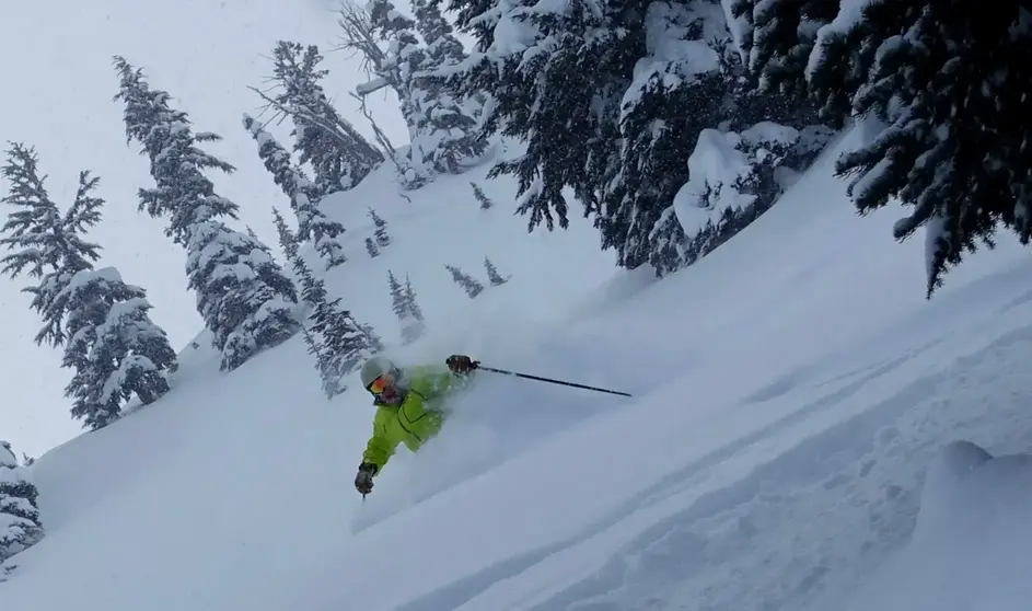
Cascade snowfall from this evening through Tuesday afternoon will be impressive: 7 - 14 or more, with excellent quality. Much of that snow will fall overnight, but some of that will continue to fall early Tuesday so youll be skiing in the fresh with free refills. Visibility can be an issue with heavy snow in the convergence zone. Be careful on the drive, snow will be on the road.
The snow will end later Tuesday, then Wednesday you can expect fabulous leftovers off-piste and rippin groomers.
Thursday through the weekend will see sunny periods with a chance of a little snow. There will be a modest storm system late Saturday night, producing new snow on Sunday.
If you were up over the weekend or the last five days, you know how great the snow has been; cold, dry, and squeaky underfoot. I was up at Crystal on Saturday, there was a chill in the air with spectacular sunshine and to die for views and cobalt blue skies, while the cold it kept the snow in great shape all day. Powder Bowl was so fine!
Starting this weekend we are going to shift into a more normal temperature pattern. The sustained low snow levels of the last five weeks, which produced this fantastic snow quality, will not be as consistent in the weeks ahead as the pattern appears to be shifting back to near normal temperatures by the weekend. But no worries, the spring snowstorms will come and the snowpack is healthy plus well still have cold spells and more powder days ahead.
Your Grand Poobah of Powder
Larry Schick meteorologist
--- remember everything in the future is a forecast, not a guarantee.
