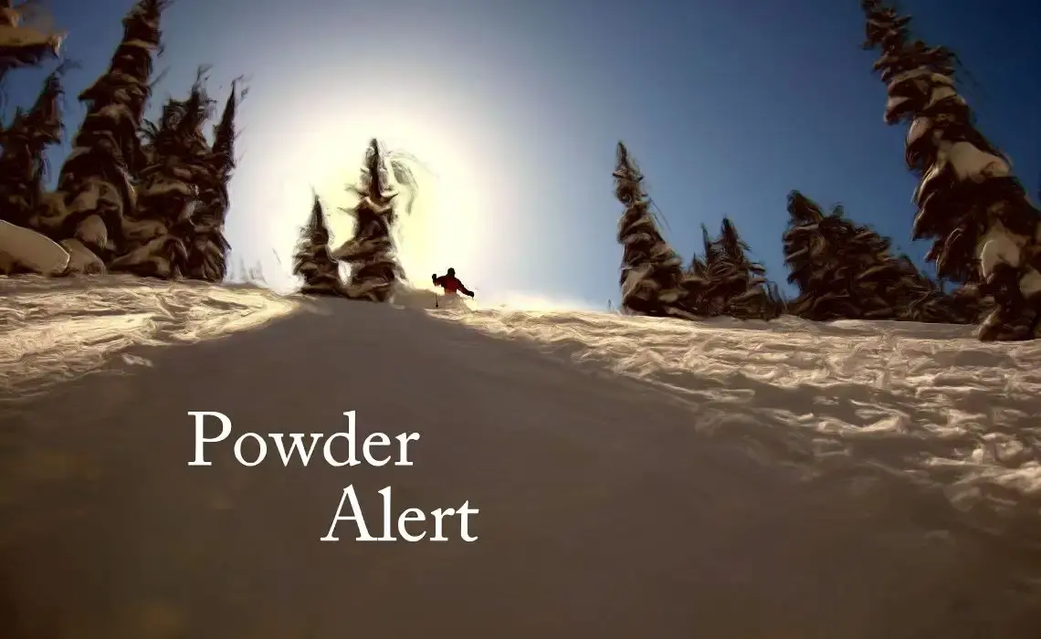
Powder Alert
Nov 10, 2015 9:06pm
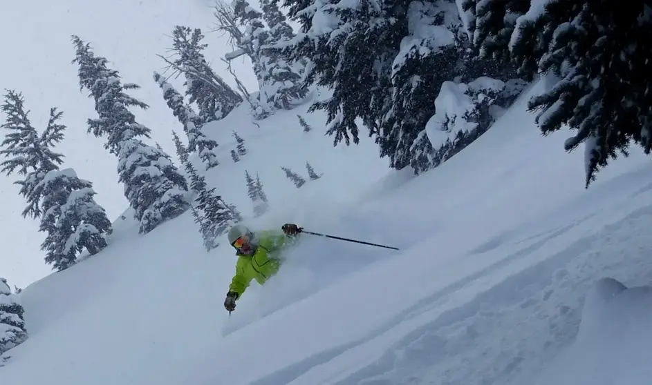
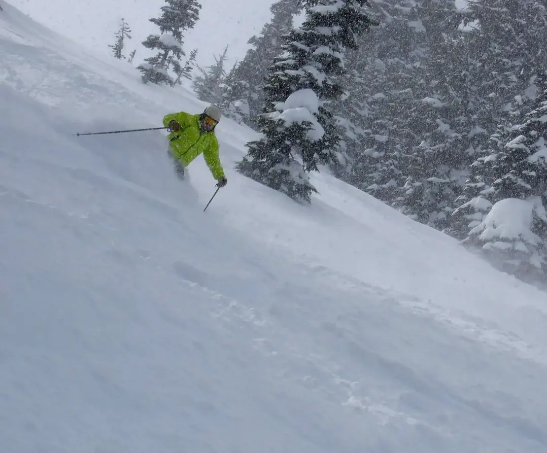
A swiftly moving storm will move in from the northwest overnight. Expect a good shot of snow: 5-11. Snow level will be dipping to a favorable 3000ft. I like this storm! A little more snow will fall at Mt Baker and possibly in a convergence zone, from Stevens to The Summit (Alpental). Crystals higher elevation will help too. White will see 3-6. Whistler will keep piling snow up (10 plus) they are likely to be open by or before Thanksgiving.
The next storm begins later Thursday, and continues into the weekend. Initially, the new storm will be trouble, but in the end it will produce new snow.
The new storm has a wet and mild atmospheric river attached. The snow levels will rise to 7000 ft on Friday. Sadly we must endure the dreaded rain on snow (ROS). Ok, it wont melt the entire new snowpack, but the lower elevations will be partially cleaned out. Rivers will be on the rise, flooding is possible not caused by melting snow, but by 4-9 of rain. We will be exposed to about 24 hours of rain, then the snow levels will go down later on Saturday into Sunday and we will pick up new snow, so well get back some of the snow we lost.
Given more storminess in the forecast next week and I expect several areas with limited openings for skiing by Thanksgiving.
El Nino remains in progress and will target mid-winter with its greatest effect. Strangely, El Nino doesnt really warm us up, directly, but keeps us from getting too coldsee my blog: powderpoobah.com
Your Grand Poobah of Powder - on the web since 1996
Larry Schick meteorologist
