The snow will begin falling again in the Cascades this afternoon, but do not expect as much as last Sunday Tuesday, which was 1-3 ft.
Right now a low off the coast is spinning up bands of snow for the Cascades, but the system is not as or fully developed and organized as the snow pattern earlier this week. Plus we will be on the northeast side of this low, not optimum for lots of snow, but definitely, well get snow with good quality.
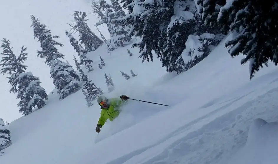
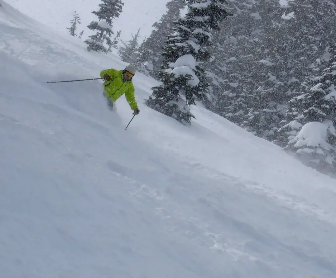
The snow levels will remain low (500 - 2,000ft) today and into the weekend. That means little or no snow in the lowlands, but low enough snow levels for all snowfall in the Cascades. Driving on some of the foothill and mountain roads will be challenging at times take it easy. I expect new Cascade snow early in your holiday weekend; later today into Friday then tapering off Saturday. Expect more clearing and sunshine later in the weekend on Sunday and Monday groomers with the new snow will be great and off-piste will hold up nicely. Youll find some nice powder pockets. favor the north facing slopes for best results.
Friday will see 2-5 when you arrive, for a quality refresh. Then snow off and on through the day with another modest 1-4. Saturday will see 1-3 new when you arrive with snow tapering off during the days. When you add it up, that's 4-12 and that aint bad.
Sunday and Monday will see cool, but partly sunny weather as an elongated area of high pressure offshore force a chilly and mainly dry northerly flow of air of the NW. New snow will return to the Cascades by mid-week.
Your Grand Poobah of Powder
Larry Schick meteorologist
PS: Big thanks to mountain maintenance / lifties and especially ski patrol at Crystal making it safe. 40 in 36 hours! That was a lot of snow to deal with, much of it unstable.
