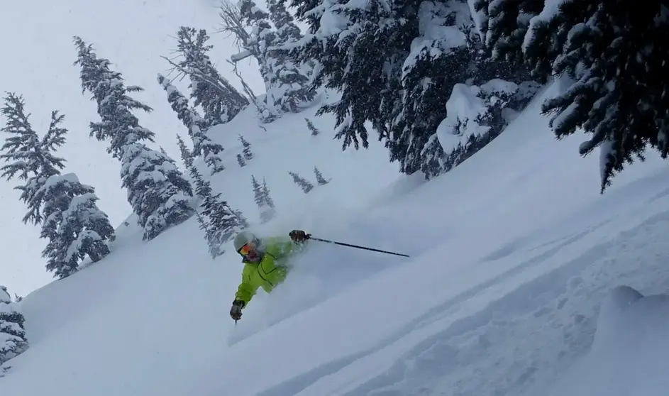
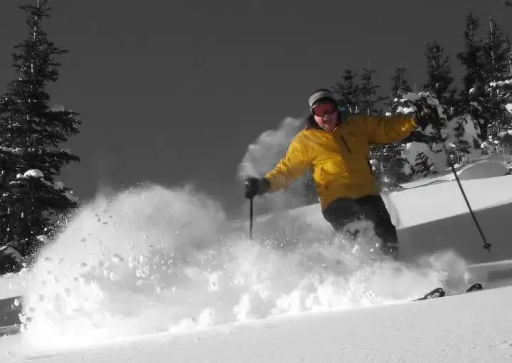
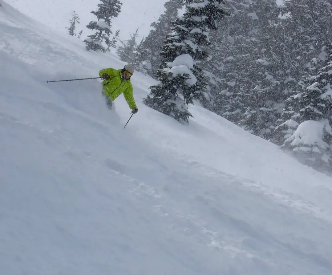
The big fat ridge of high pressure continues to dominate the NW ski slopes with sunshine and a dry pattern. Stick to the groomers early this week. But there is a change in the wind, by late in the week finally some snow to talk about.
The ridge will break down and a more active NW snow pattern will prevail. Expect 10-20 Friday to later on Sunday. The only issue I see is the snow level rising for a time on Saturday to the middle and lower slopes (4000-5000ft). Ill have details later this week. But at least we are back in the game.
The change will last until next Monday/Tuesday. After that it is unclear the dry high-pressure ridge might be back for a short visit.
Whistler will pick up 15-22 from Thursday to Monday. Snow level will be between the Village and lower/mid mountain. Expect all snow in the alpine.
Grand Poobah
