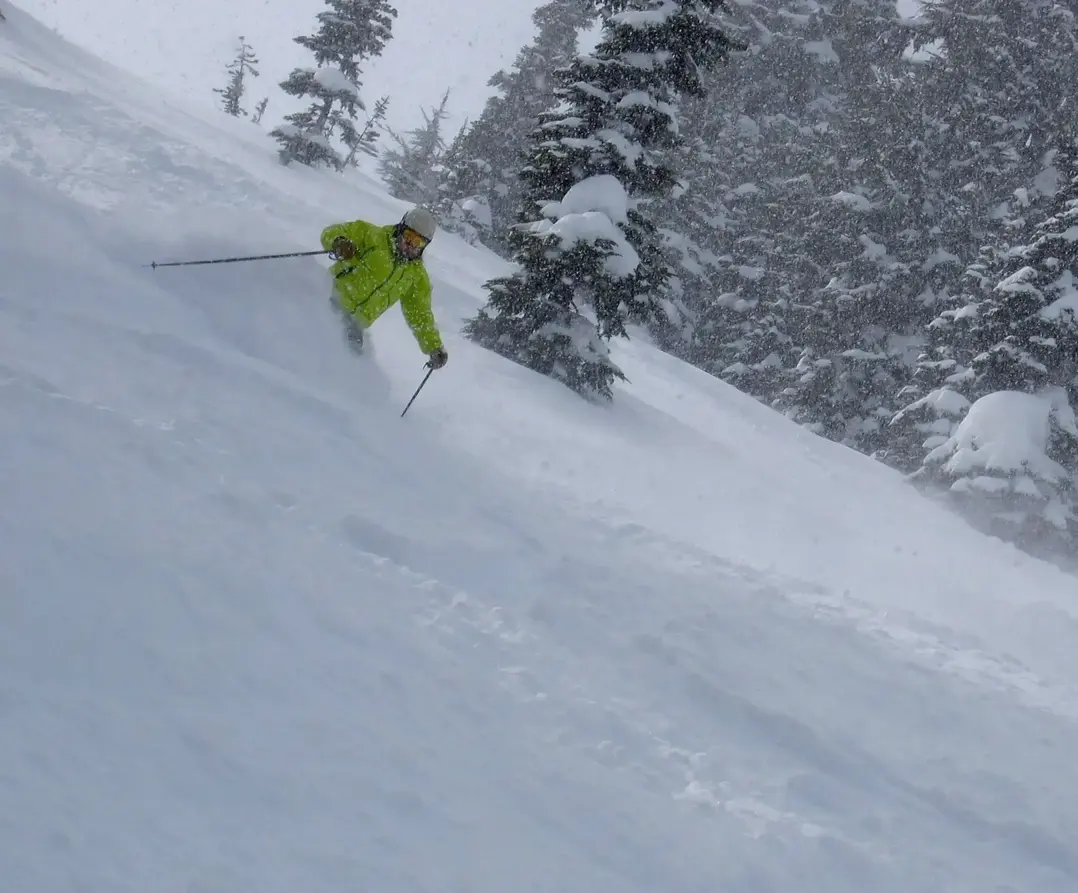
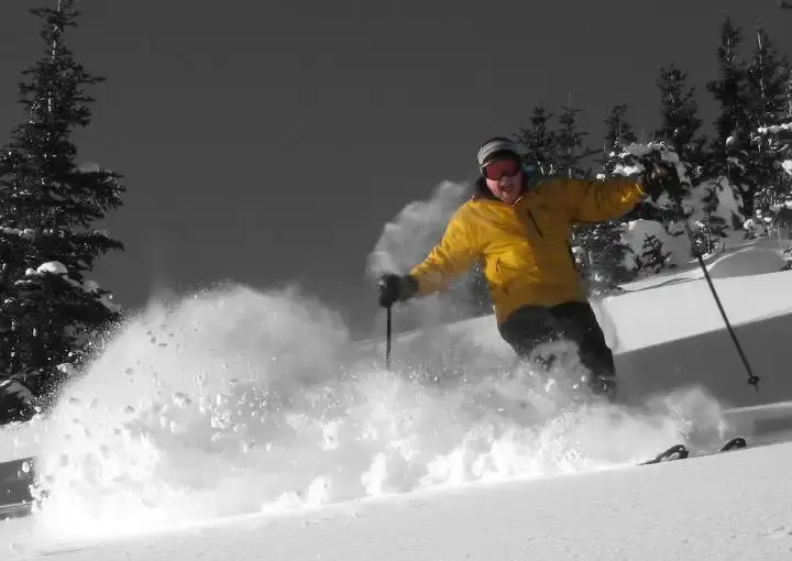
The groomers have been fun in the sun, but its time to get back to winter.
There is new snow ahead, however, the amounts will be modest and the greatest snowfall will favor Mt. Baker and Whistler. The high-pressure, which provided the recent, dry and sunny weather, is breaking down. This will allow a snowstorm to move in late tonight and into Friday. Initially, the snow level will be high at 5,000ft (mid slopes) dropping to lower slopes or base elevations (4,000ft) on Friday.
Due to the slow start of the storm late tonight and the initial high snow levels, Friday morning snowfall will be light 1-5 (deepest: Baker & Whistler) During your ski day on Friday expect the SL lowering to 3,500-4,000 with snow at times for an additional 1 - 4 . There will be a little more snow overnight Friday (1 - 4) into Saturday with a SL of 3,500. Saturday will be mostly dry with snow tapering off. Expect a little more snow Sunday (trace-2), as snow levels to drop to 2,000 ft.
Monday see some of the coldest air of the season, with little or no new snowfall. Snow levels will be only 100 ft. Models are showing a dry spell much of next week, with little if any new snow.
Your Grand Poobah of Powder
Larry Schick meteorologist
