Hello Skiers
Good bye smoke. Hello, Northwest mountain snow.
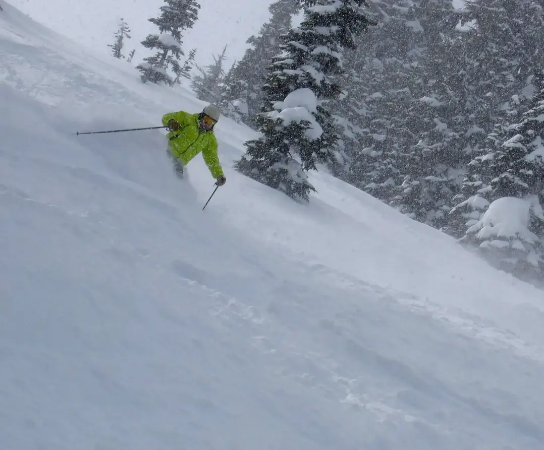
The extended dry spell is coming to an end. Computer weather models show fall storminess arrivingright on time starting Friday. New NW snow will start piling up as we are on our way with the mountain snow season for 2022-23.
I will be so glad to see the smoke (and fog) finally get cleared out by the rain and wind on Friday. It was so smoky today; I hung a salmon on an outside clothesline and it was cold smoked in time for dinner.
Storms are in line to plaster the high country with snow through the middle of next week. There is high confidence in the forecast with the snow levels about 3,500 4,500 ft, driven by cool and moist west-northwesterly airflow. The mid and upper slopes will definitely see respectable snowfall with multiple storms ahead. The lower ski slopes will see light wet snow or no accumulation. Initially, the upper slopes will see modest snow (2-6) later on Friday into Saturday morning with more snow coming Monday.
There will be a break in the snowfall later Saturday and Sunday. But the snowy mountain views from here in the lowlands, will be fuel the stoke. Another snow storm with greater intensity will hit Monday with 4-10 of new on the mid to upper slopes. Expect additional snowfall by midweek.
Its a good start for October, but of course not enough to open. We typically need 2-5 feet to at least partially open. But sometimes less if it comes in with a favorable pattern - wet snow then drier snow. Plus, snow making can help greatly to fill in the gaps, if natural snow doesnt come as expected.
Dont underestimate the benefits of snowmaking and good grooming. I skied at Whistler with literally no snowpack (Roundhouse and below) in early December last year. The alpine (above Roundhouse) had some snow and decent coverage, but nothing below 6,000ft. With healthy mid and lower mountain snowmaking, the skiing was very good. I could ski from top to bottom, at both Whistler and Blackcomb. Yes, it was very limited off-piste, but so what? 5,000 verts aint bad, considering the lack of coverage. Closer to home, Crystal has similar attributes helped by snowmaking with their gondola and Green Valley.
Another caution. Warm and wet atmospheric river (Pineapple Express) patterns are most frequent and intense for the NW in the fall that is why many of the worse NW floods are in late Oct, Nov, and Dec. A single or series of ARs can beat up a shallow mountain snowpack. Until the snowpack becomes sufficiently deep (> 4-5 feet) we are vulnerable to ARs ruining the snow fun in the early season by thinning out the snowpack. Once the snowpack gets deep enough, ARs cannot wipe out the entire snowpack. However, ARs can produce sticky snow and rough snow surface conditions with rain falling on snow anytime during the season.
Enjoy watching for the breaks in the weather over the weekend to get a glimpse of the new mountain snow. That is it for now, time to dine on some delicious NW smoked salmon.
Larry Schick
Meteorololgist
The Grand Poobah of Powder
