Hello skiers,
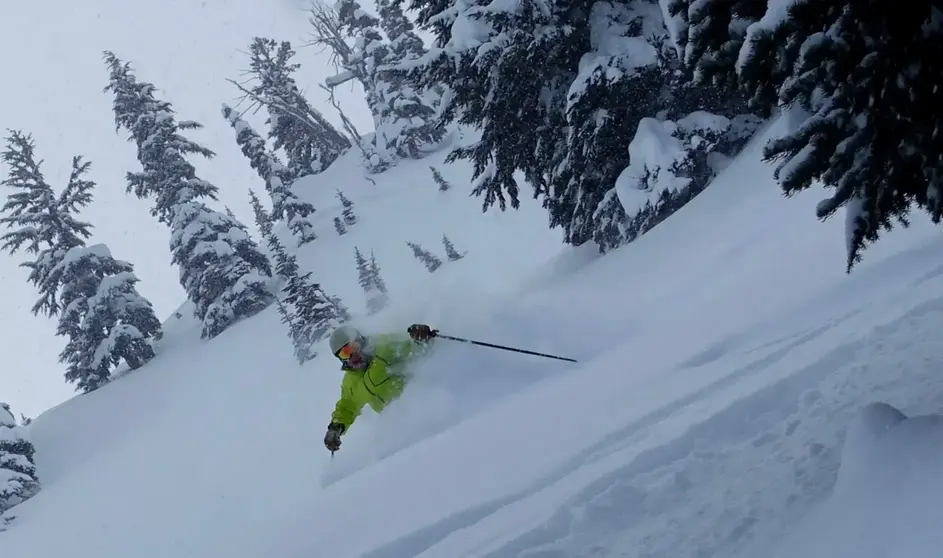
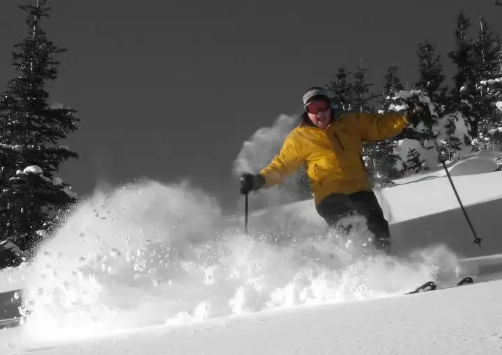
April has been cold and snowy. The snowpack remains healthy so the coverage is good, but there are some late season thin spots. We have warmed up a bit, so the snow surface conditions can be challenging with soft or slushy snow at times, especially by late morning and afternoon. Generally, mornings are good, but sometimes a tad firm.
The longer days provide better light, with good visibility. Plus, its an easy snow free drive to the slopes. Remember you can get a sunburn this time of year, even on a cloudy day so use sunscreen.
After this weekend most ski areas will be closed. Crystal will stay open until Memorial Day (weekends). Whistler will be open until May 23. Please check ski area websites for the latest.
Here is the forecast:
Friday: Partly sunny a fine day on the slopes, as a brief and transitory ridge of high pressure moves through to provide a dry day with sunshine and some cloudiness. Again, use that sunscreen!
Saturday: There will be snow from overnight Friday night into Saturday morning, as a modest weather front moves through the Cascades. The snow level will be 4,500 ft, so ski conditions may be fickle on the lower slopes. New snowfall by Saturday morning (mid-upper slopes) will be variable, trace to 4, with a little more during the day (trace -2). You will ski in mostly cloudy skies with sun breaks, by afternoon.
Sunday: The front move east early Sunday, with clearing and partly sunny skies. Enjoy.
Monday/Tuesday a new front with a rain/snow mix will move into the Cascades on Monday.
(see ski season 2021-22 wrap up below)
Grand Poobah of Powder
Larry Schick meteorologist
..................
2021-22 -- Season wrap up
This was season of stop and go snowfall, sometimes driven by warmth and rain rather than snow. High snow levels were a problem from time to time. But if you could cherry-pick your days, there was some great skiing. Sometimes the skiing was very good, like later in December and again in April, and sometimes not so great like parts of January and February.
I always caution skiers about the reliability of snowfall though the season. The snow rarely falls consistently all season long, but rather in periodic storm cycles. One month we see dry or warm, with the next month snowy. The weather one month does not necessarily translate to the next month. That is just the way winter weather works with the storm track jumping around and sometimes stalling. The storm track points at us for powder days or away pushing the snow elsewhere.
The forecast for this season was for La Nina to nudge our normally snowy Cascade winter (and Inland NW) toward normal or above normal snowfall. And in the end that is where we ended up (forecast verified!), but it was sometimes a rough road. The snowfall map shows generally above normal snowpack for the Northwest.
The snow season started late one of the latest ever. Early in the season (Nov until about early Dec) there was lots of rain,
with a mild southwest airflow. That produced high snow levels, without much snow for the slopes. We finally saw the snowfall pick up after the first week of December as the storms cooled with a more westerly/northwesterly airflow pattern. The holiday season was generally good into early January. Then we had a streak of high snow levels with irregular snowfall. That pattern was with us into January into February. But at least the actual snowpack was near normal, so we could ski.
March saw renewed snowfall, but then we got hit by an unusually strong late season warm and wet atmospheric river (AR). The AR produced no new snow and actually melted a small bit of the snowpack, but we recovered with new snowfall and the pack was only temporally dented, not wiped out. There were other high snow level episodes in March and early April.
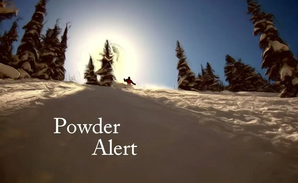
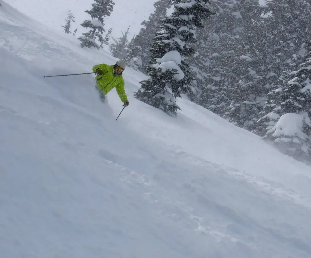
April turned out much cooler and snowier than normal. Those fabulous powder and groomer days were caused by a persistent visit from a cold low pressure which stalled, providing fabulous skiing. I had many good powder days that was a sweet late season bonus. The added snowfall (rather than the typical slow April melt) pushed us up above normal for the snowpack. (see graphic). Here in the NW, even with the maddening inconsistent snowfall, we did well. Much of the Western U.S. had below average snow conditions.
Next Season (2022 - 2023)
It is too early to be confident, but there are indications La Nina could persist into a rare third season in a row. The hat trick, a threesome, the trinity.
The long-range winter forecast for the 2022-23 ski season will become clearer and with greater reliability by late summer and early fall. While right now the forecast favors La Nina, neutral is also possible. Generally a Neutral pattern produces a good Cascade snowfall. Remember, no predictor guarantees us snowfall or a smooth, consistent snowfall season. El Nino seems to be the dog for NW snowfall but even some El Ninos are respectable. However, as a rule of thumb we have some of our poorest snow seasons with El Nino. Right now, El Nino is the least likely possibility for next season.
Enjoy your summer. And dream about those powder days next season, nudged toward the NW by La Nina.
Your Grand Poobah of Powder
Larry Schick - meteorologist
