Hello skiers,
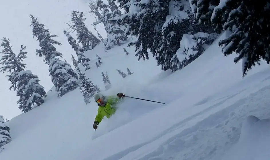
I hope you enjoyed the excellent powder earlier this week and the sunshine today. However, the warm and sunny weather on the slopes is behind us for now. Expect a series of storms to move in with snow at times, low snow levels and a chill in the spring air.
None of the storms ahead will produce as much snow as we had earlier this week, which was 1-3 ft. However, the upcoming storms will bring very low snow levels once again with a broad area of cold low pressure. Thats unusual for April. The cold will produce a nice spring refresh of new snow. But remember, this time of year the sun is strong and can make new snow dense very fast, especially on the lower slopes and the south facing slopes.
Its difficult to time these storms, but I do know they will be cold, with light to modest snowfall mixed with sunbreaks at times.
Here is the forecast:
Friday: a front will bring in cooler air and lower snow levels (3,500 ft). Expect an inch or two in the morning and an inch or two during the day. Convergence zone may boost snow totals at Stevens and The Summit late in the day.
Saturday: Light snow at times will continue Friday evening into Saturday with 3-8 new by Saturday morning (SL: 1,500 ft) There is a chance of snow during the day on Saturday.
Sunday: Light snow possible and cold.
Monday and Tuesday: Partly sunny, cool chance of a little snow.
Update will be coming Sunday


