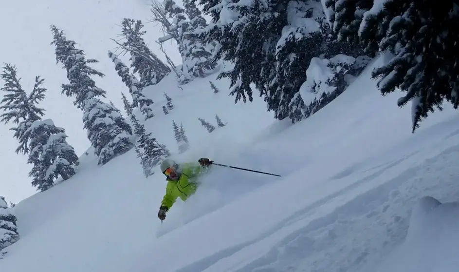
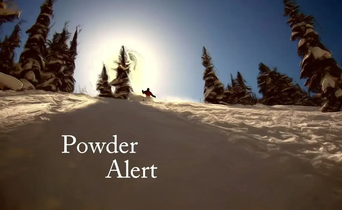
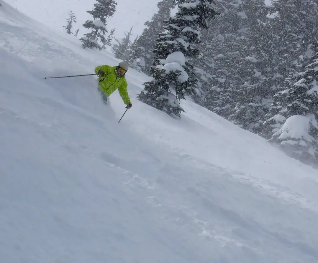
Finally, some good snow news. Respectable new snowfall is headed our way. Its not a complete game-changer, but it will help everyone and improve conditions. Its welcome news, after this current sustained period of scanty snowfall, one of the worst in decades for the NW arguably the worst since 1976 but we have months to go, so let's not get overly concerned. The 1976-77 snow season is considered the worst snowfall of all, because of very low snowfall everywhere in the Western U.S., not just the NW. We are not seeing that widespread pattern this year. Some areas in the West are enjoying abundant early season snow, like California and Arizona.
The first weather system will arrive later on Tuesday is weak and only worth a couple of inches at best with a 4,000 ft snow level. Its the second system, which comes knocking later on Wednesday, which has the best potential and has some legs lasting until Friday or Saturday. There is a good chance of 8-15 of snow in the 48 hr period from late Wednesday to late on Friday.
Snow levels will eventually dip to about 3,000 ft. on Friday, with all slopes receiving snow. Snow showers will linger into Saturday, as a result some areas will get even more snow.
Its not the epic snowfall we really need, but the storm will mean more open terrain and possibly more ski areas opening.
Remember, Crystal (Fri-Sun), Mission Ridge (Fri-Sun) and Whistler (all days) are open check websites for details.
Your Grand Poobah of Powder
