Hello Powder Fans 02-16
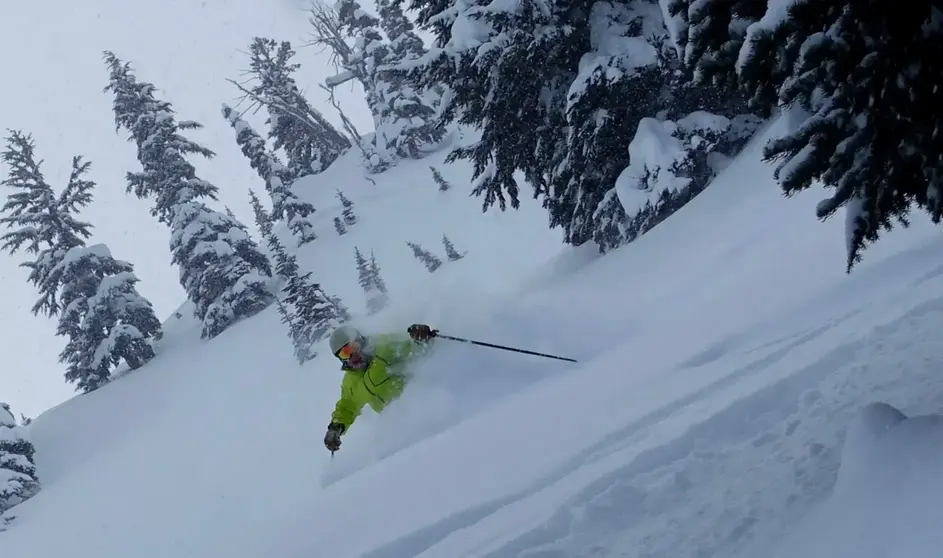
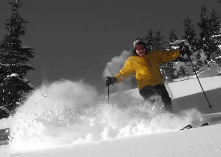
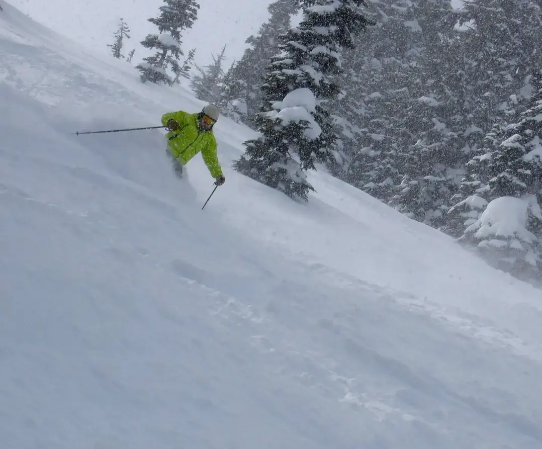
What happened with the big dump on Monday, before Valentine’s Day? If you were really lucky, (18.5") you were at Snoqualmie Pass. Even though the parking at Alpental looked like Cinco de mayo, people got their powder turns!
The difference between Snoqualmie vs Stevens Pass this past Monday (2-13-2023) was 18.5” of new snow vs 7” of new snow (from the DOT site).
The reason was the Puget Sound Convergence Zone. It usually targets a location from just north of Stevens Pass to Snoqualmie Pass.
And if you want more CONVERGENCE check out this link: Snow Enhancement from the Puget Sound Convergence Zone
From the Grand Poobah's archives (2-24-2022).
Why do we have spells of weather?
Typically, in winter we expect it chilly because of the low sun angle and short days. However sometimes we get a very cold arctic outbreak like this week with mainly dry weather and low snow levels.
Then again, sometimes the winter weather is unusually mild and wet with high snow levels – with especially notable warmth at night. That happens mainly when we see atmospheric river conditions like coming up next Monday.
The reason for these swings is a weather process called advection. In the warm tropics or the cold arctic, great areas of air (air masses) sometimes remain stagnant for many weeks. Huge blobs of air (the size of Alaska) take on the characteristics of their geographic place of origin. The arctic or tropics are “source” areas for these air large masses – which sometimes can move toward the NW, greatly affecting our snow and snow levels. Once an air mass forms, the active winter storm track bends and a low pressure will direct a cold / dry air mass (or warm / wet air mass) in our direction.
This week (2-24-2022) is a good example. The initial low pressure (last weekend’s snow) ushered in a high pressure driving in bitter cold. It’s the high over northern BC which is driving the cold air toward the Northwest. When a large mass of air (warm/wet or cold/dry) is moved horizontally in unison, like a large blob, it’s called advection.
Advecting the cold from the north or warmth from the south is what causes our extremes in winter. When advection is extreme it often results in extreme weather records. Typically, during winter, there is minor advection with westerly winds off the ocean, driven by eastward migrating low pressure areas into the Northwest.
This results in steady snow levels of 2,000 – 4,000 ft, bouncing around a little. But when major cold air advection occurs (like this week) be prepared for very low snow levels with generally dry, cold air. But when advection is from the southwest snow levels rise, often riding the mild winds of an atmospheric river storm moving from the southwest. That is what we will see next Monday.
The warm advection we see next Monday is short lived and not extreme and nothing like we saw last fall with the flooding.
Thanks to the GPOP~ he’s travelling from Sun Valley, to Grand Targhee. More cool weather explainers coming soon.


