Hello Powder Alert Fans,


  • Monday: Up to 4 inches with snow levels at 500 to 1000'
  • Tuesday: Trace if any with snow levels at 500'
  • Wednesday: Trace if any with snow levels at 500'
  • Thursday: Up to 5 inches with snow levels at 2000/3000'


Short Term Discussion


Hello skiers and snowboarders,


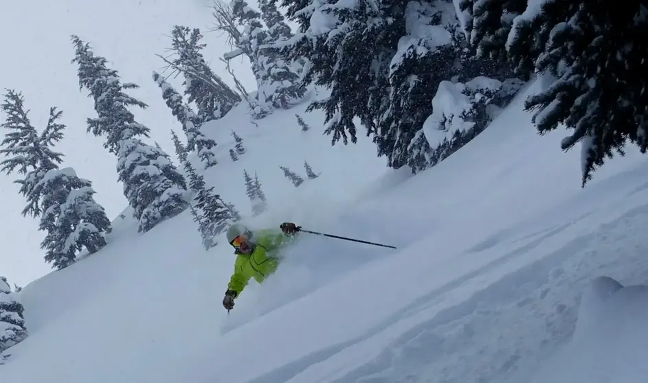
Between today and mid-morning on Monday (see first map), we are expecting 4 to 5 inches for the West Cascades ski areas, Mt. Baker, Stevens Pass, Snoqualmie Pass, and Crystal Mountain.


Monday would be a great day to enjoy the new snow with some afternoon sun breaks. Tuesday and Wednesday the main part of the storm track and associated snow will be to our south. Expect some sun breaks at times and cold conditions. Morning lows will be in the teens for many locations, perhaps a few spots slightly lower. Snow conditions remain great since there will not be the melt-freeze cycle.


Thursday (see second map) an area of low pressure will move into the West Cascades, and we are expecting up to 5 inches for the West Cascades ski areas.


Check out the extended outlook below.

Extended Outlook


From this Friday to Sunday, we are expecting an active storm track with weather systems aimed into our region. The map below for Sunday, March 10 shows a trough of low pressure off our coast. With this type of pattern, we can expect cool conditions and chances of snow. Too early to get a handle on how much snow but certainly a good reason to be optimistic regarding next weekend.


The extended outlook shows cool conditions.


Watch for the next update on Thursday.


Meteorologist Michael Fagin


P.S. Don't miss SPREEFEST Demo Day on Saturday, March 9 at Summit West.


RESORT LINKS FOR MOUNTAIN CONDITIONS

49 Degrees North

Mt Baker

Mt Bachelor

Crystal Mountain

Mission Ridge


Silver Mountain, Idaho

Stevens Pass

Summit at Snoqualmie

White Pass

Whistler Blackcomb