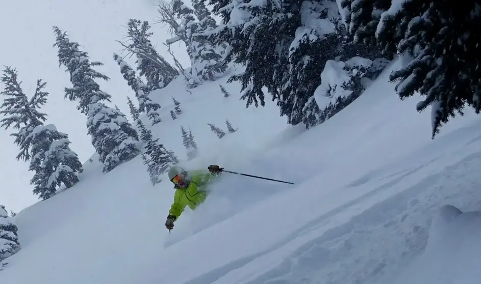
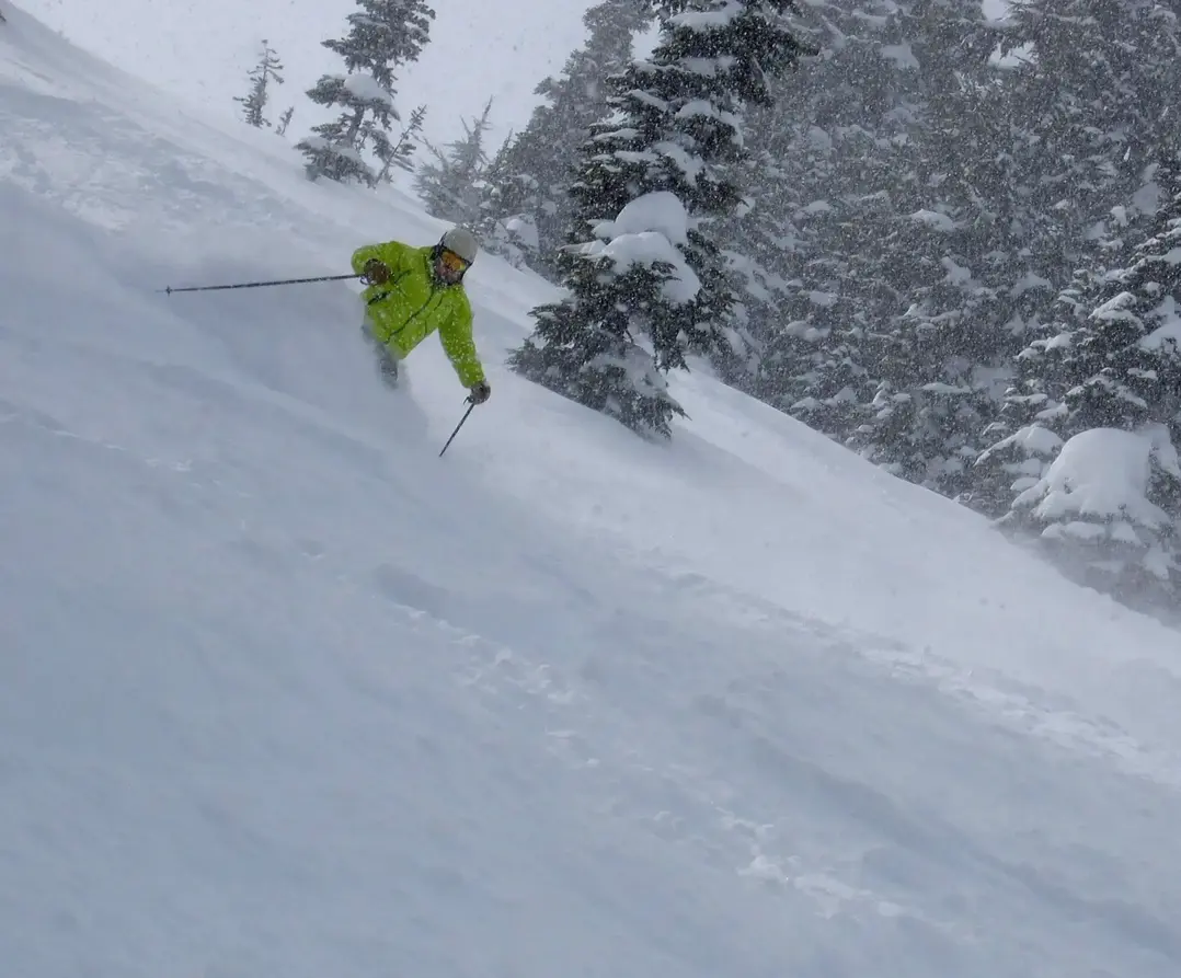
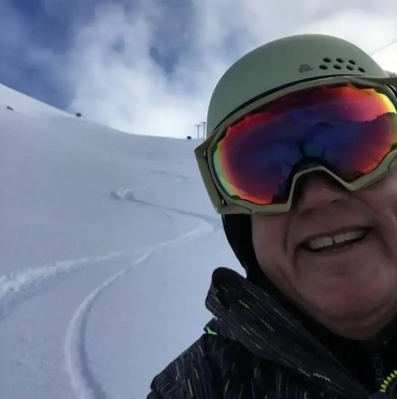
Hello skiers and snowboarders,

Short Term Outlook:

Late winter snowfall continues to grace us with its presence. Over the next few days, here's what you can expect:

  • Thursday: Anticipate 6 to 8 inches of snowfall, with additional accumulation mainly on Friday morning. Friday afternoon might even offer a few welcomed sun breaks, making it an ideal day to hit the slopes.
  • Saturday: Forecast indicates up to 4 inches of snow, coupled with intermittent sun breaks.
  • Sunday: While the brunt of the storm heads towards California and the Sierra Mountains, we might still see around an inch of snow here, along with some sun breaks to enjoy.

Snowfall Forecast (24 hours ending 4 pm Friday) (check the map below):

  • West Cascades: Up to 4 inches, encompassing Stevens Pass and Snoqualmie Pass.
  • Crystal Mt and Whistler: Potentially up to 10 inches of fresh powder.
  • White Pass and Mission Ridge: Expected accumulation of 2 to 4 inches.

Extended Outlook:

Looking ahead, the trend of below-normal temperatures is projected to persist through March 13. While extended precipitation outlooks may lack certainty, the consistent forecast of below-normal temperatures bodes well for maintaining our snowpack.


Extended Outlook Continued


Temperature Anomaly (850 millibar level - 5000') indicates a deviation of -5 Celsius below normal, or 9 degrees Fahrenheit below normal, forecasted for Monday.

Keep an eye out for updates as we monitor the evolving snow season. Stay tuned for my next update on Sunday.


Meteorologist Michael Fagin

Forward to a friend!


Follow us on social media!